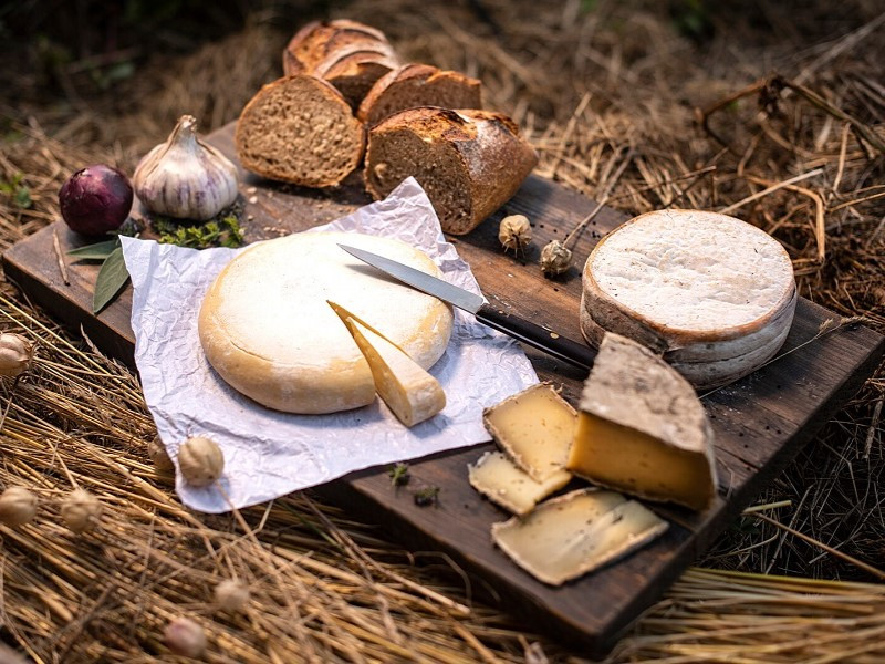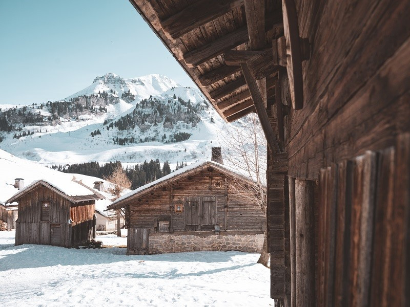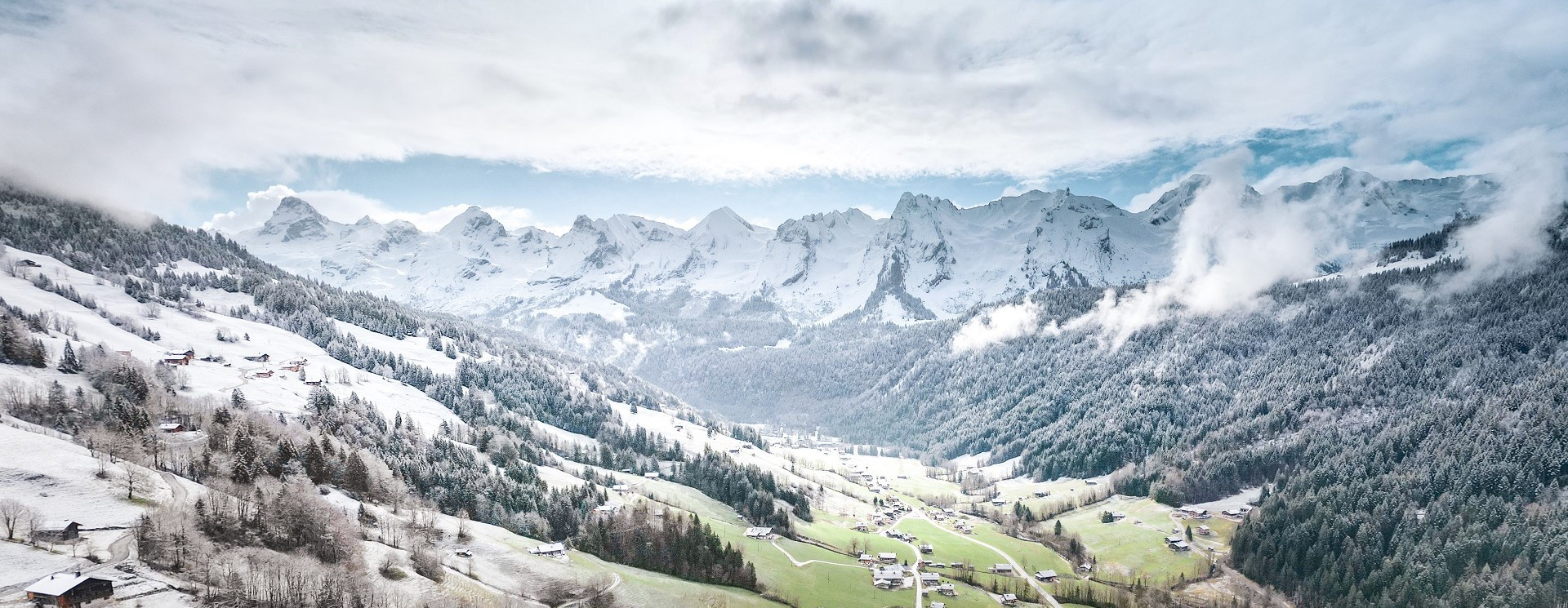
Irresistible Aravis range
At once emblematic, aesthetic, fascinating and attractive, the Aravis mountain range offers an exceptional panorama in all seasons, among the most beautiful and spectacular in the French Alps, all within easy reach of the village!


It is the postcard by excellence and we never tire of admiring this display of combes, sculpted by erosion, at once different from each other but of an surprising regularity.

SOME GEOGRAPHY AND GEOLOGY
Classified as a "Natura 2000 site" since 2006, the Aravis mountain range is part of the subalpine chains, located in the Pre-Alps, in the Bornes-Aravis massif. It is situated between Haute-Savoie (west side) and Savoie (east side), halfway between Annecy and Chamonix. Oriented North-East/South-West, it extends over nearly 30 km between Magland (near Cluses) in the North and Marlens (near Faverges) in the South. It is divided into two parts (north and south) by the Aravis pass which cuts it from east to west.
It is made up of limestone (bars and cliffs) and more or less clayey marls (grassy slopes).
Let's locate this chain in the different massifs of the Alps. In the center of it all, there are the central massifs: the granite needle is the symbol, as in the Mont-Blanc massif. All around these central massifs, the layers of different compositions that covered them slipped and were crushed. Schists, sandstones, conglomerates give all forms of relief to these summits. The deposits of different materials at the bottom of the sea, generated layers of marl and limestone. The moments of extension and compression wrinkled these different layers. From these folds, erosion has sculpted crests, combs, lapiaz and grooves.
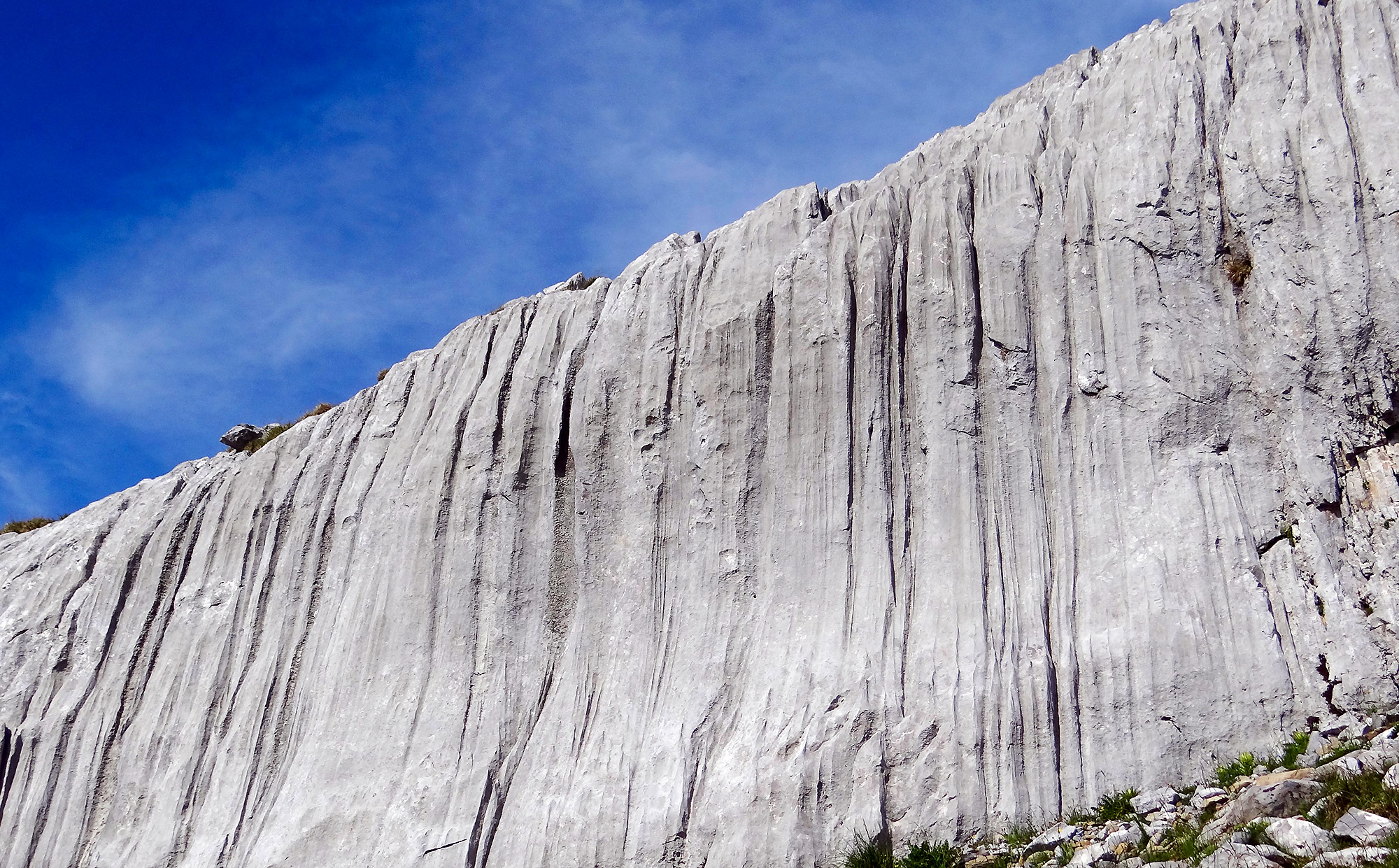
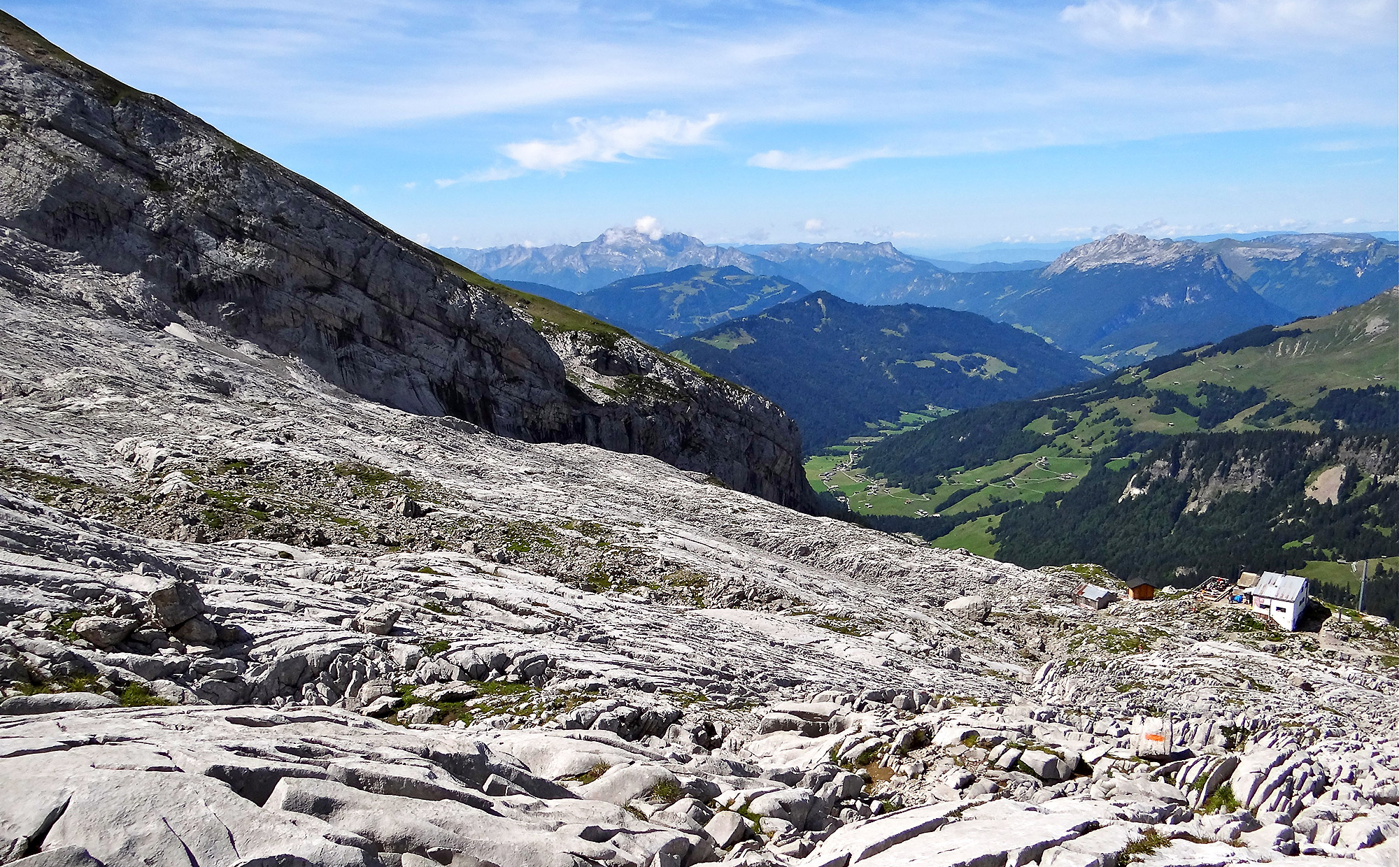
LAPIAZ ? CANNELURES ?
Lapiaz is a surface geological formation in limestone rocks, created by the runoff of rainwater that dissolves the rock. These formations, with roughness that can be sharp, are criss-crossed by numerous gullies, cracks and fissures of varying sizes, some of which can reach several meters in length.
A Cannelure is a regular groove or stripe, more or less wide and deep, dug by glacial erosion. It is a geological formation found mainly on vertical walls.
A Cannelure is a regular groove or stripe, more or less wide and deep, dug by glacial erosion. It is a geological formation found mainly on vertical walls.


ITS SUMMITS AND ITS COMBES
The highest point of the Aravis chain is the majestic pointe Percée, which rises to 2750m.
In order to be perfect with family or friends during your next stay in Grand-Bornand, here is the list of the main summits and combes of its northern part.
Practice!
Practice!

Of course, it is a fabulous alpine playground, for all and in all seasons, in the middle of lapiaz and other grooves carved into the rock by erosion: hiking, climbing, ski touring, mountaineering, ...
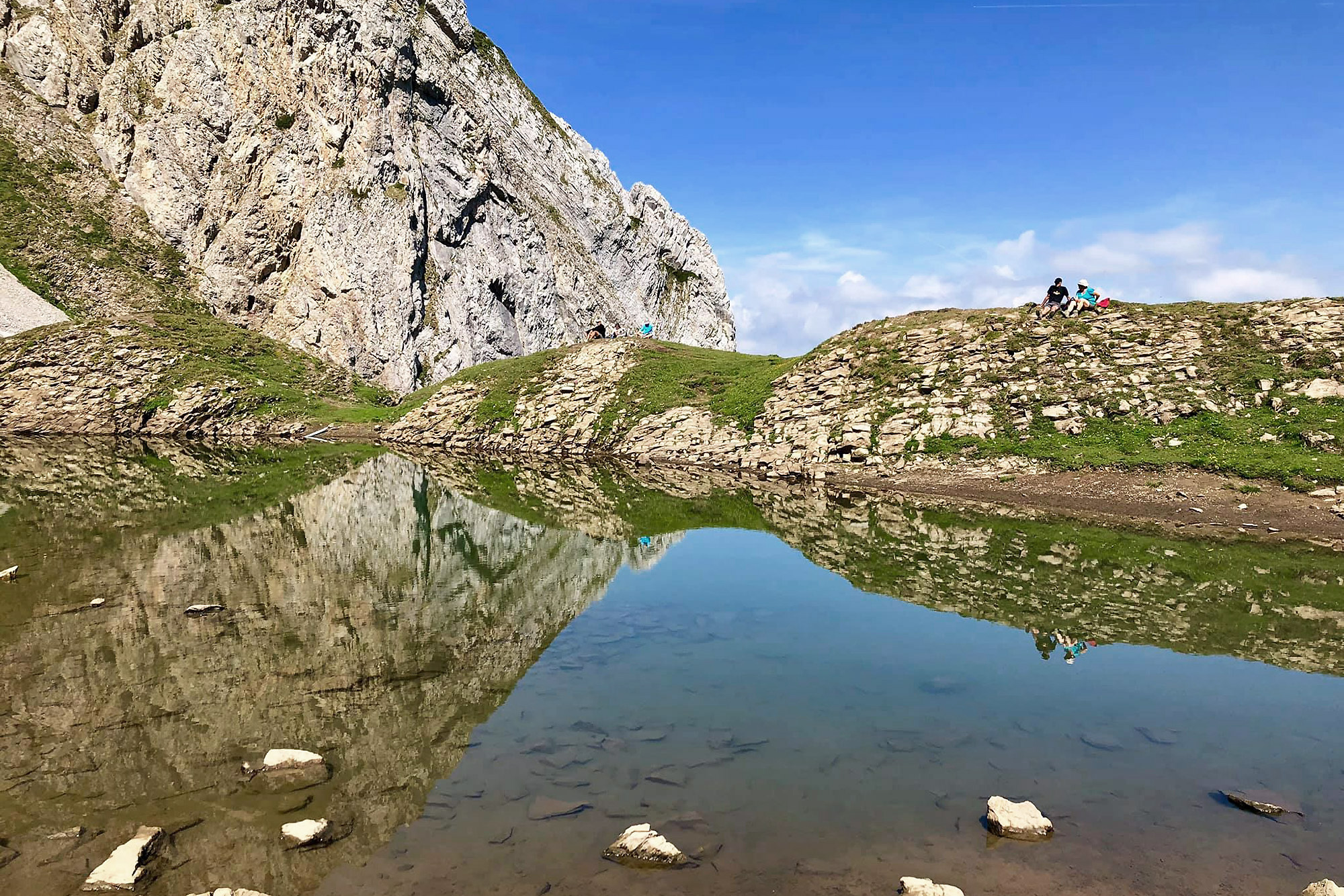
In summer, as in winter, each combe has its own itinerary and summit from which you can admire a unique panorama of Mont Blanc and its massif. It is up to you to go for a walk with your family or with friends with, why not, a picnic break at the edge of the lake of Tardevant in the combe of the same name.


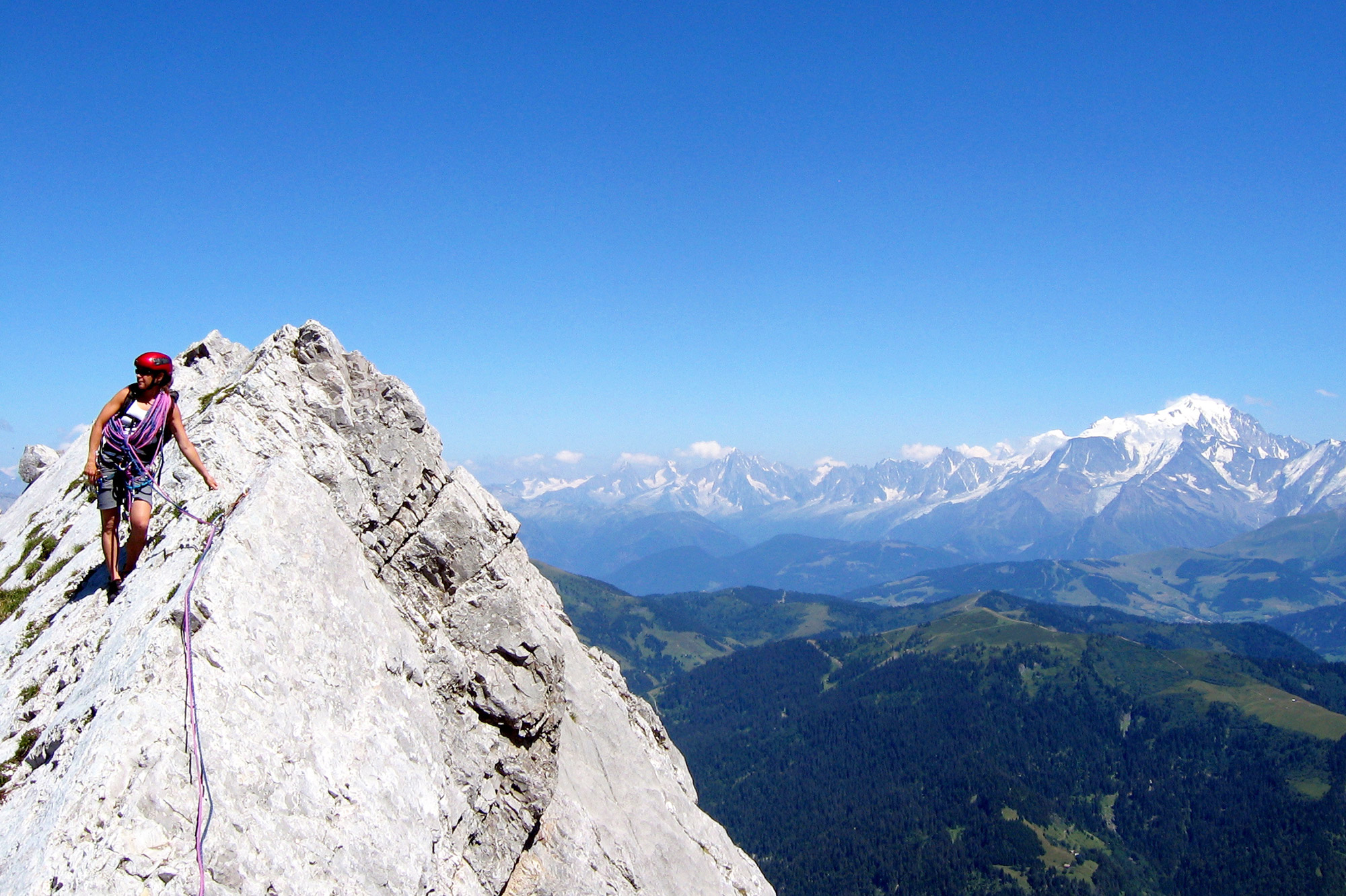
In summer, the most experienced climbers can take on "La Grande Arabesque", a series of five great climbing routes, from La Mamule to Pointe Percée, or take up the challenge in winter of the "De fond en combes" route, which allows you to ski in three different combes with two north-facing corridors, a great atmosphere guaranteed!
The richness of the fauna and flora of the massif will also perfectly embellish your mountain escapades.

TO KNOW!
- The pointe Percée is really pierced! There is indeed a hole under its North/Northeast ridge. A climbing route, the "Voie du trou" even allows to cross it.
- The pointe Percée also has its "finger", a rocky point on the same ridge also called "Arête du doigt", a very nice climb that leads to the summit.
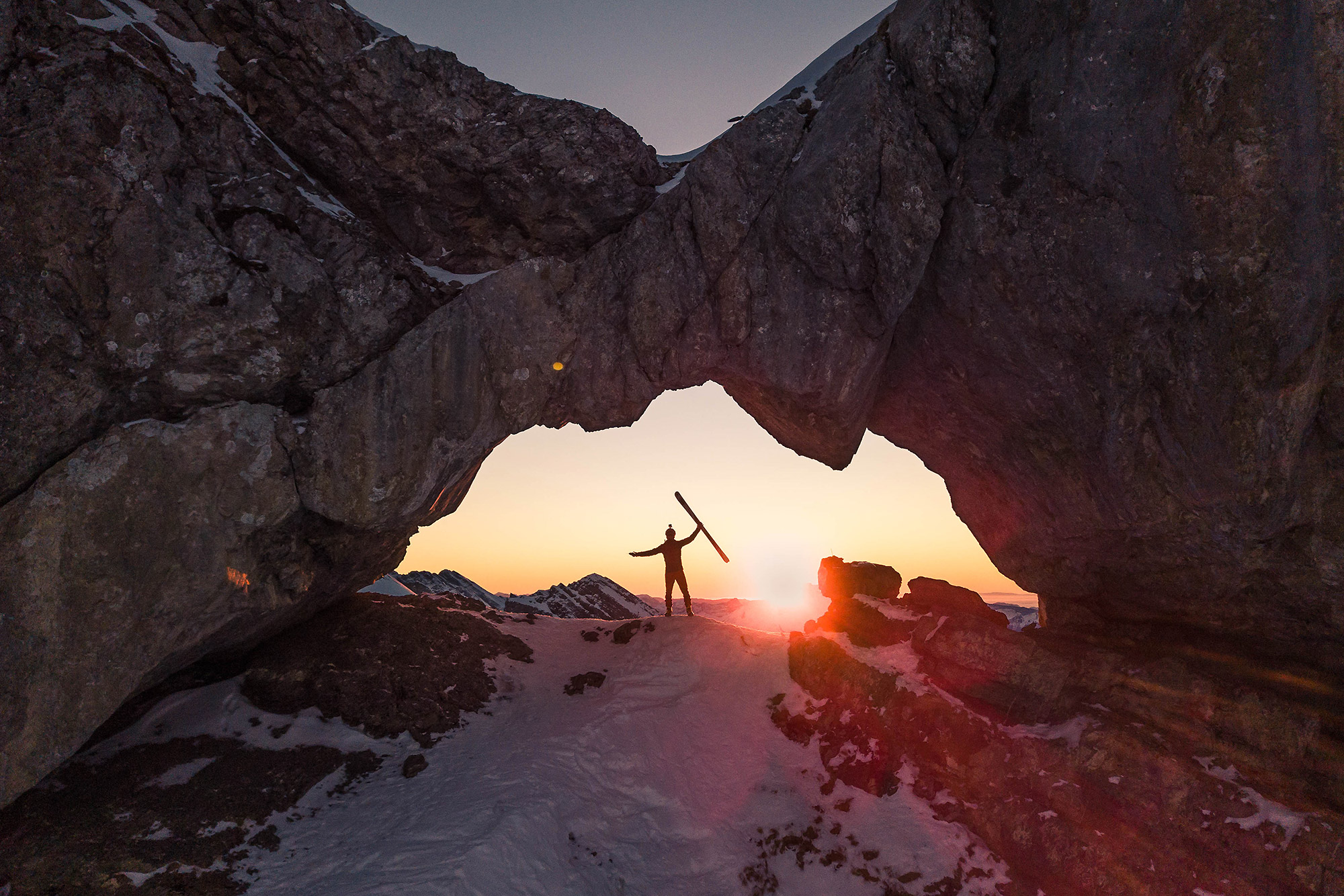
- Another natural curiosity to be discovered summer and winter, the "Trou de la Mouche"! A very aesthetic passage under a rocky arch that connects the combe de Grand Crêt to the combe de Paccaly.
- The Aravis range also hides small secret passages to venture on its south-eastern slope with notably the "Porte des Aravis" at the top of the Combe de la Creuse, the "Passage du Père" at the top of the Combe de Paccaly or the "Passage de la Grande Forclaz" at the top of the combe of the same name.
- This same valley of the Grande Forclaz is also the narrowest valley of the chain.
- On March 10, 1817, a large avalanche from the Tardevant comb swept many coniferous trees on its way down to the valley. Trees were sawn into boards in the spring and the board and wood trade began.
- In 1848, the newspaper l'Echo du Mont-Blanc recounts the ascent of pointe Percée by a pious caravan led by Canon Pasquier.
- In 1903, Genecand and Cevey achieved the first ascent of the pointe Percée finger.
- Two mountain huts welcome you at the foot of the combes and summits:
Refuge de la Bombardellaz at the foot of the combe of Tardevant
Refuge de la pointe Percée (Gramusset) at the foot of pointe Percée
As soon as possible, all you have to do is to take the big leap to explore this amazing Aravis range at your own pace and according to your desires!
- The pointe Percée also has its "finger", a rocky point on the same ridge also called "Arête du doigt", a very nice climb that leads to the summit.
- Another natural curiosity to be discovered summer and winter, the "Trou de la Mouche"! A very aesthetic passage under a rocky arch that connects the combe de Grand Crêt to the combe de Paccaly.
- The Aravis range also hides small secret passages to venture on its south-eastern slope with notably the "Porte des Aravis" at the top of the Combe de la Creuse, the "Passage du Père" at the top of the Combe de Paccaly or the "Passage de la Grande Forclaz" at the top of the combe of the same name.
- This same valley of the Grande Forclaz is also the narrowest valley of the chain.
- On March 10, 1817, a large avalanche from the Tardevant comb swept many coniferous trees on its way down to the valley. Trees were sawn into boards in the spring and the board and wood trade began.
- In 1848, the newspaper l'Echo du Mont-Blanc recounts the ascent of pointe Percée by a pious caravan led by Canon Pasquier.
- In 1903, Genecand and Cevey achieved the first ascent of the pointe Percée finger.
- Two mountain huts welcome you at the foot of the combes and summits:
Refuge de la Bombardellaz at the foot of the combe of Tardevant
Refuge de la pointe Percée (Gramusset) at the foot of pointe Percée
As soon as possible, all you have to do is to take the big leap to explore this amazing Aravis range at your own pace and according to your desires!