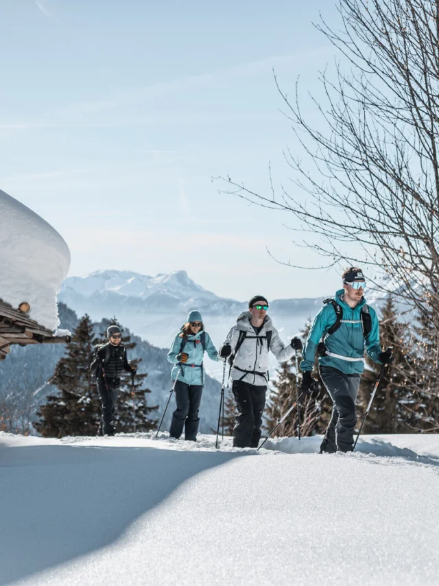
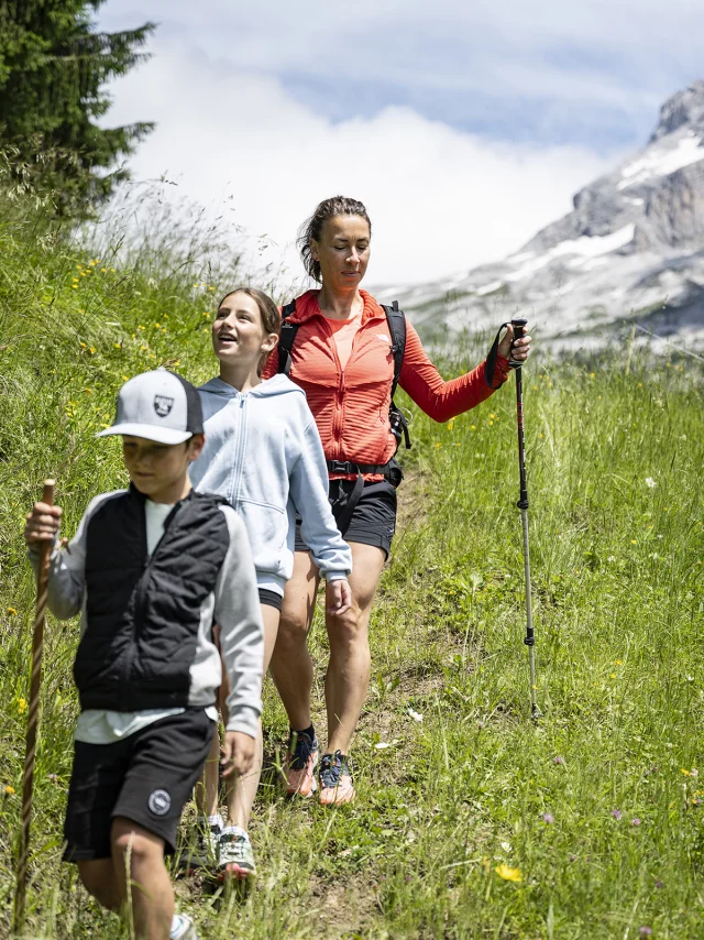
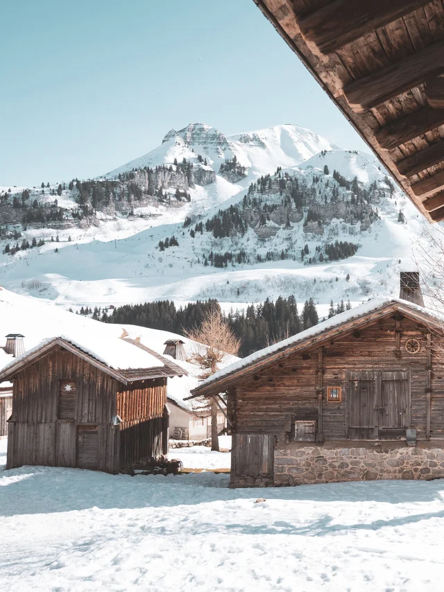
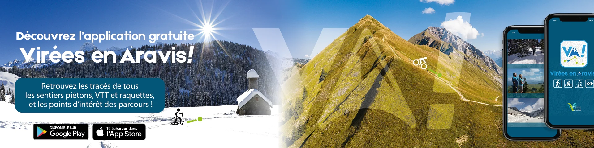
The app that turns your mobile into a GPS!
Developed by the Communauté de Communes des Vallées de Thônes, the new Virées en Aravis app lets you use your mobile phone as a GPS. You can choose a route and download it according to your criteria (level of difficulty, theme, etc.): you no longer need an Internet connection to enjoy your hike once you’ve downloaded all the information onto your mobile. The application also includes up-to-date information from mountain professionals, signposting and other points of interest with interactive and audio content, as well as the option of sharing on social networks. So you can enjoy the scenery while discovering the heritage, wildlife, flora and even local produce that enhance your walk.
 Va 2000x500 1