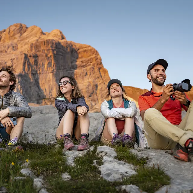
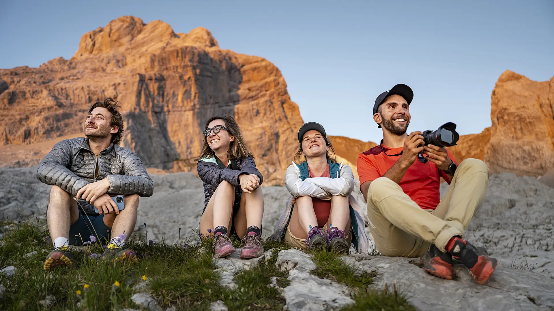
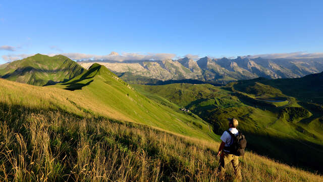
Magnificent short itinerary to the Pointe de Percée Refuge. Starting from the Col des Annes, this panoramic itinerary takes you to the foot of the highest summit of the Aravis Range via the Col de l'Oulettaz.
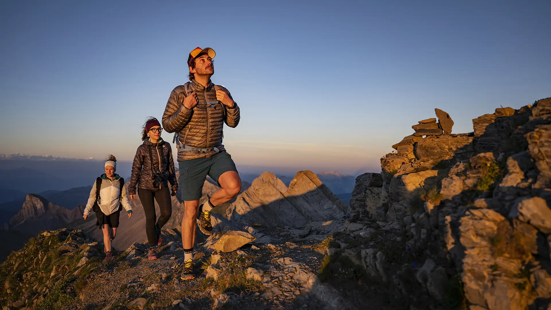
This short itinerary is intended for more experienced hikers. It will take you along a beautiful ridge path joining several peaks of the Aravis : the Tête des Annes (1869 m) first, then the Pointe des Delevrets (1966 m) and the Col de l'Oulettaz under the Pointe de Rouelletaz (2077 m).
Between Le Grand-Bornand and Le Reposoir, the itinerary offers superb views of the two valleys that stretch out before your eyes.
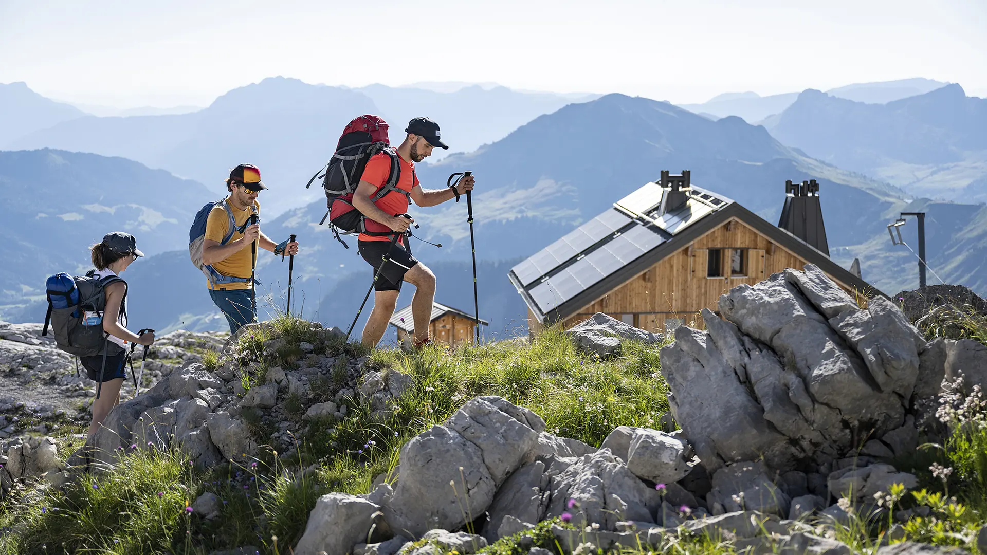
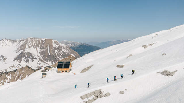
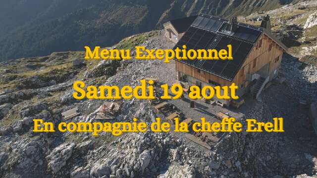
The loop continues then in a mineral universe, between lapiaz and scree, the rocks form natural steps and will allow you to continue your ascent. Arrived at the crossroads of Mont Pelés, you are not far from the objective of the day: the Refuge of the Pointe Percée. Located on a large area of lapiaz, it is the highest point of the hike and marks the border to mountaineering as it is the starting point of several access routes to the summit of Pointe Percée.
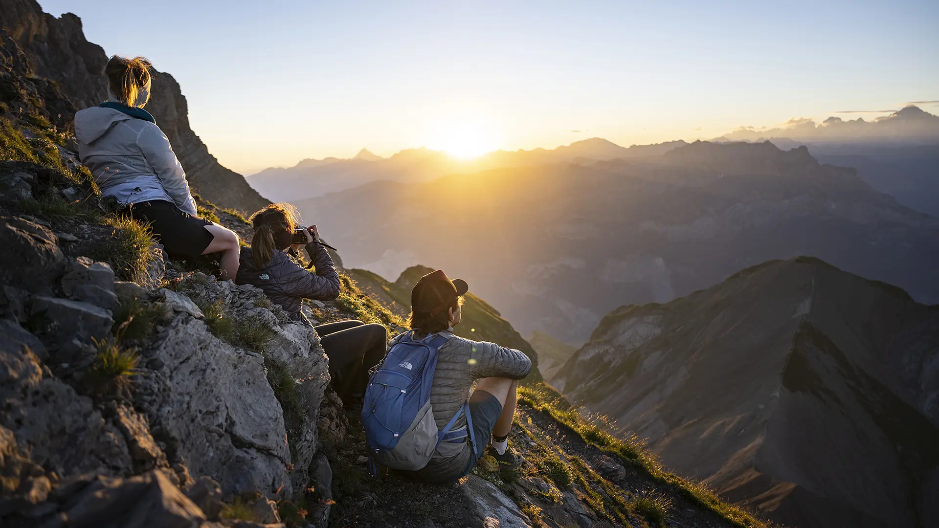
The view of the Mont Blanc, Bargy and Aravis mountains is breathtaking and will reward your efforts for an evening and a night in one of the most emblematic refuges of the Aravis.
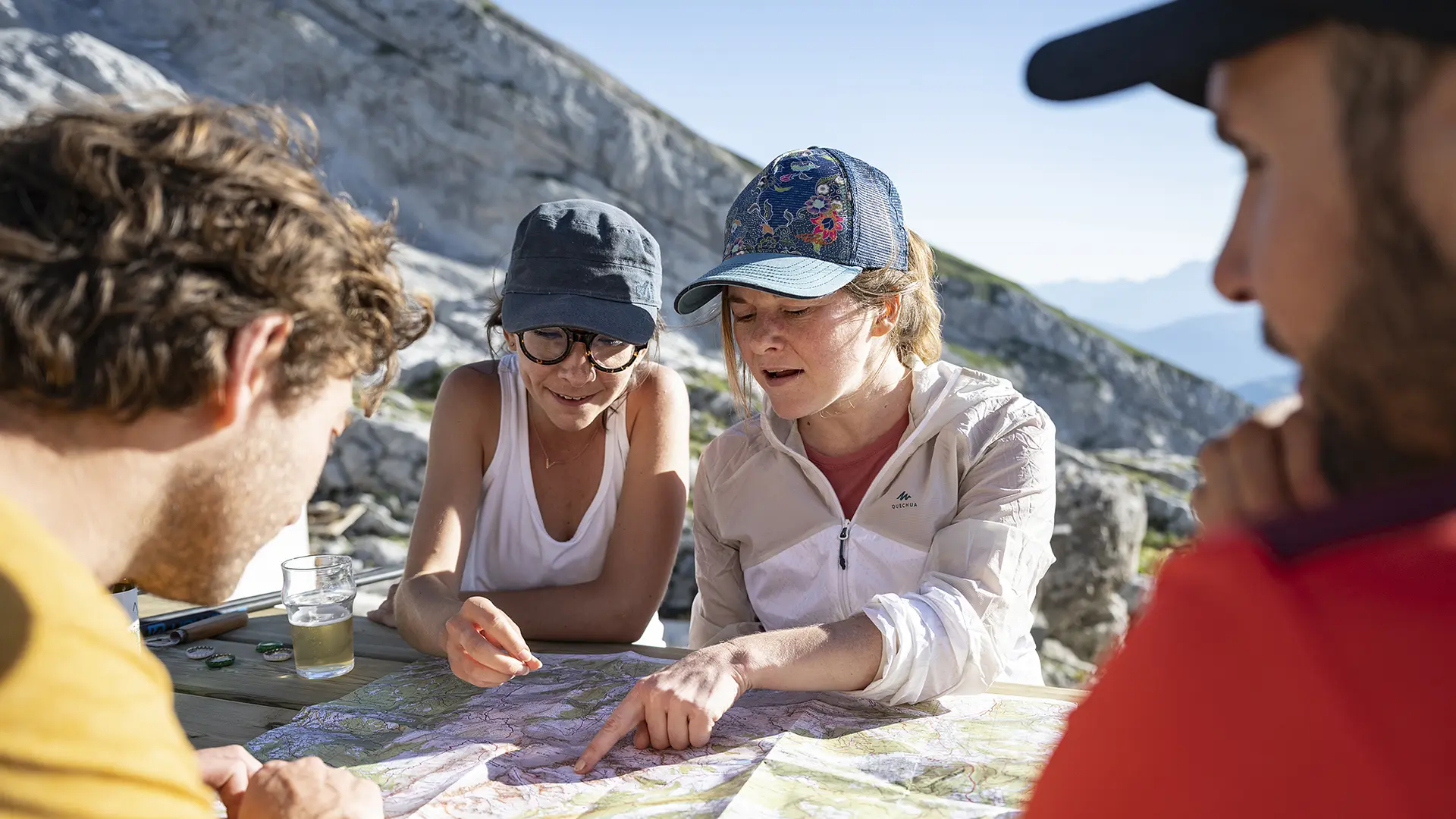
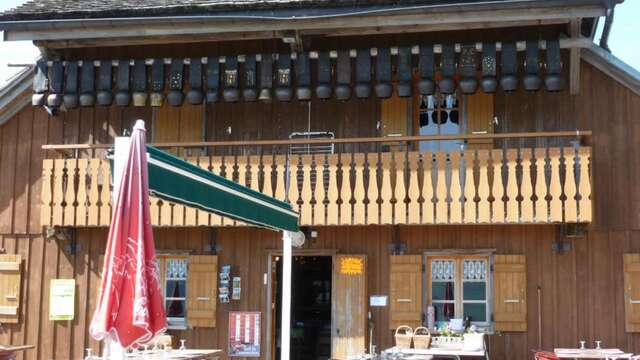
Information available at the Tourism Office or refer to the maps and/or guidebooks to locate the various hikes.
Read more
Plain text period
From spring to fall, depending on snow conditions; you are responsible for your own safety. Look online or call for information on conditions.