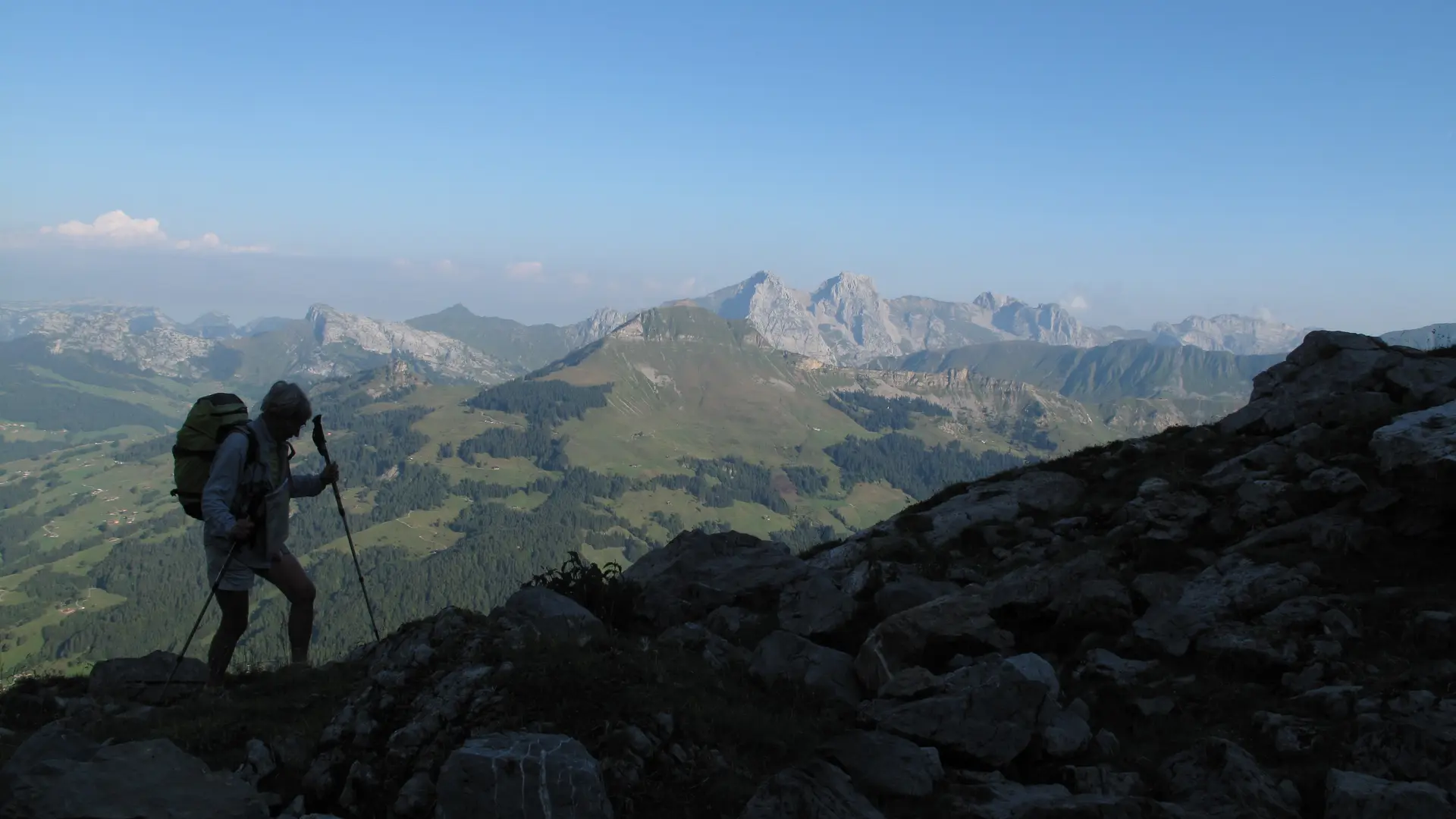
This fifth and final stage, starting from the Pointe Percée refuge, will take you to the Lac des Confins and then on to the La Clusaz bus station.
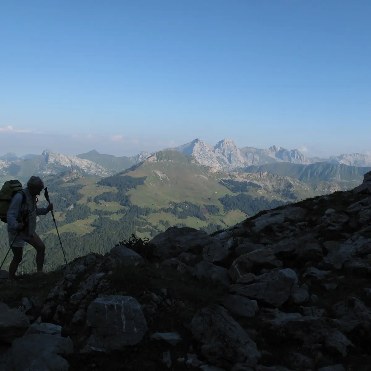
On this last stage, you'll make your way through alpine meadows, passing the Refuge de la Bombardellaz.
Once you've reached Lac des Confins, a natural lake of glacial origin at the foot of the Combes des Aravis, take the opportunity to admire the view before heading home.
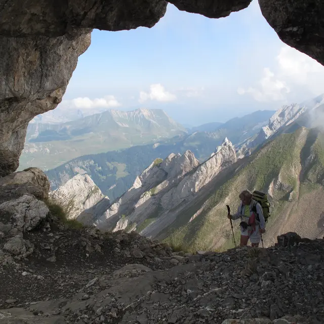
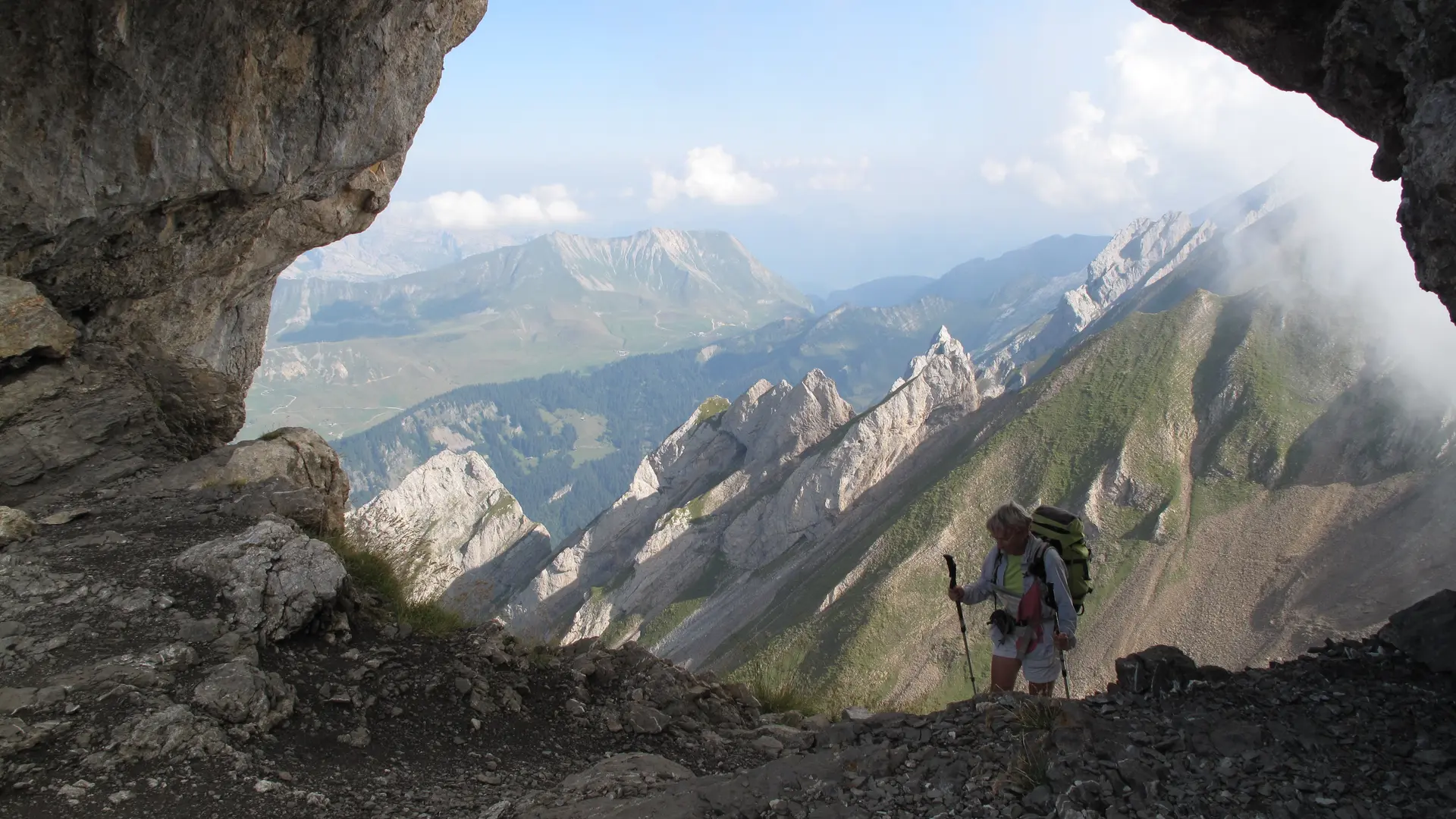
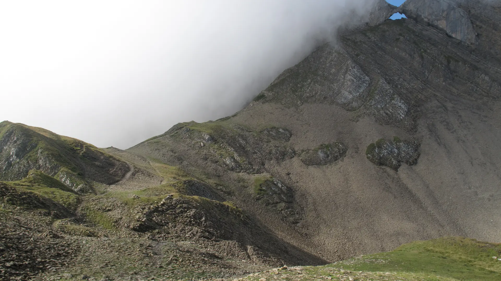
If you prefer, you can take the Trou de la Mouche option, which offers a breathtaking panorama, but is not recommended for those prone to vertigo.
Your return to Annecy station is via the bus network.
Be sure to check the shuttle bus timetable in advance.
Whatever your hike, remember to pack cereal bars, plenty of water, sunglasses, sunscreen, a small first-aid kit, and the right clothing for your outing, depending on the season and weather forecast.
Read more