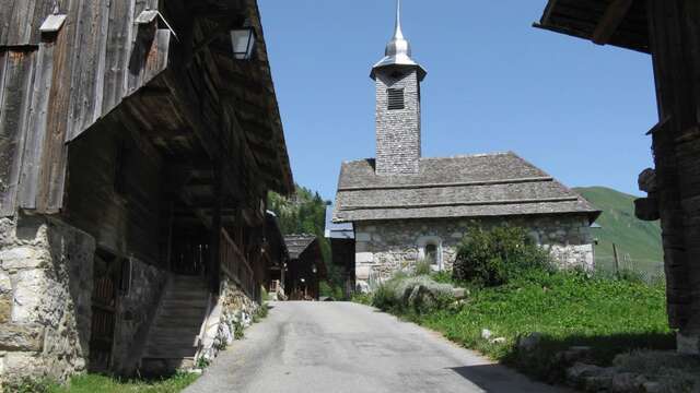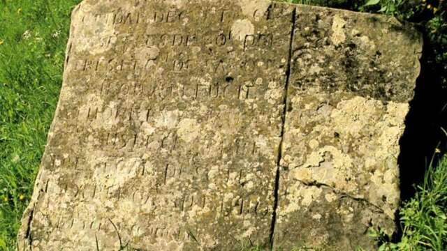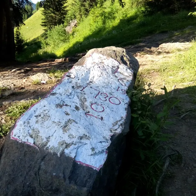

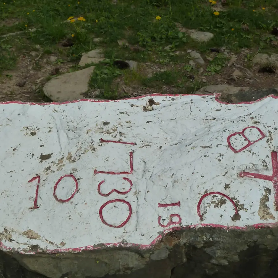
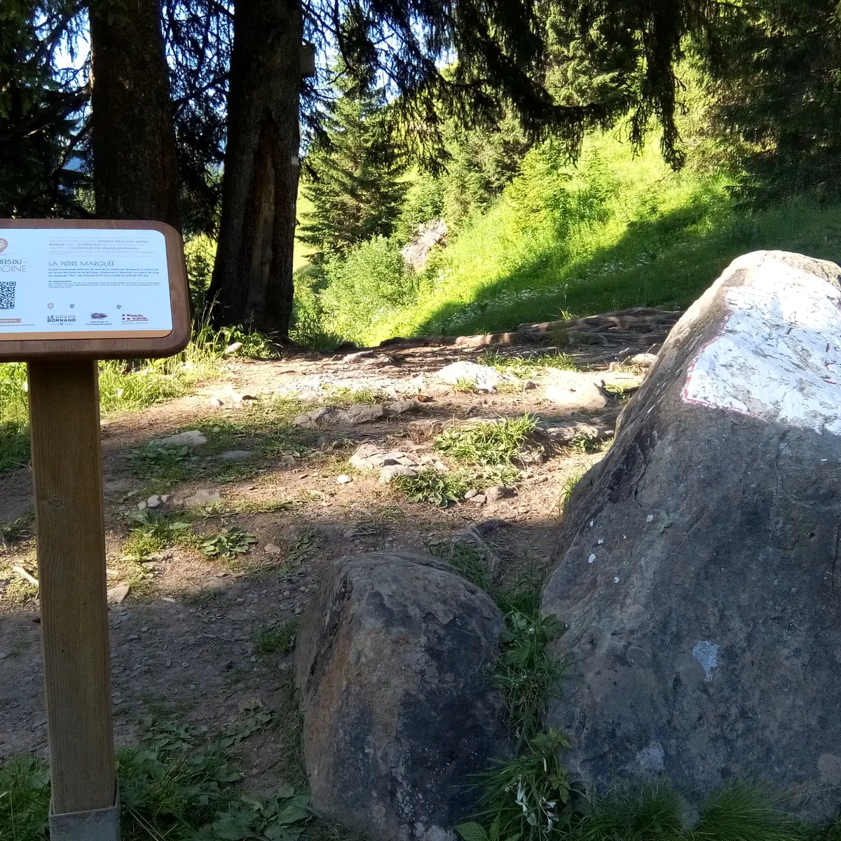
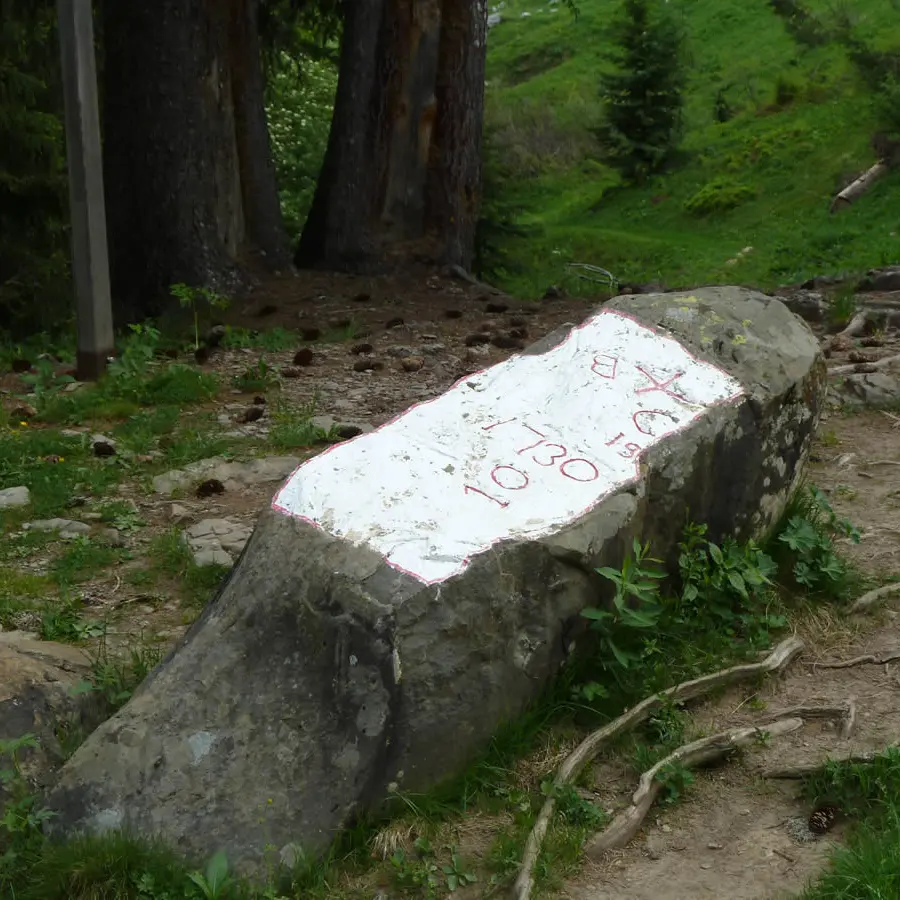
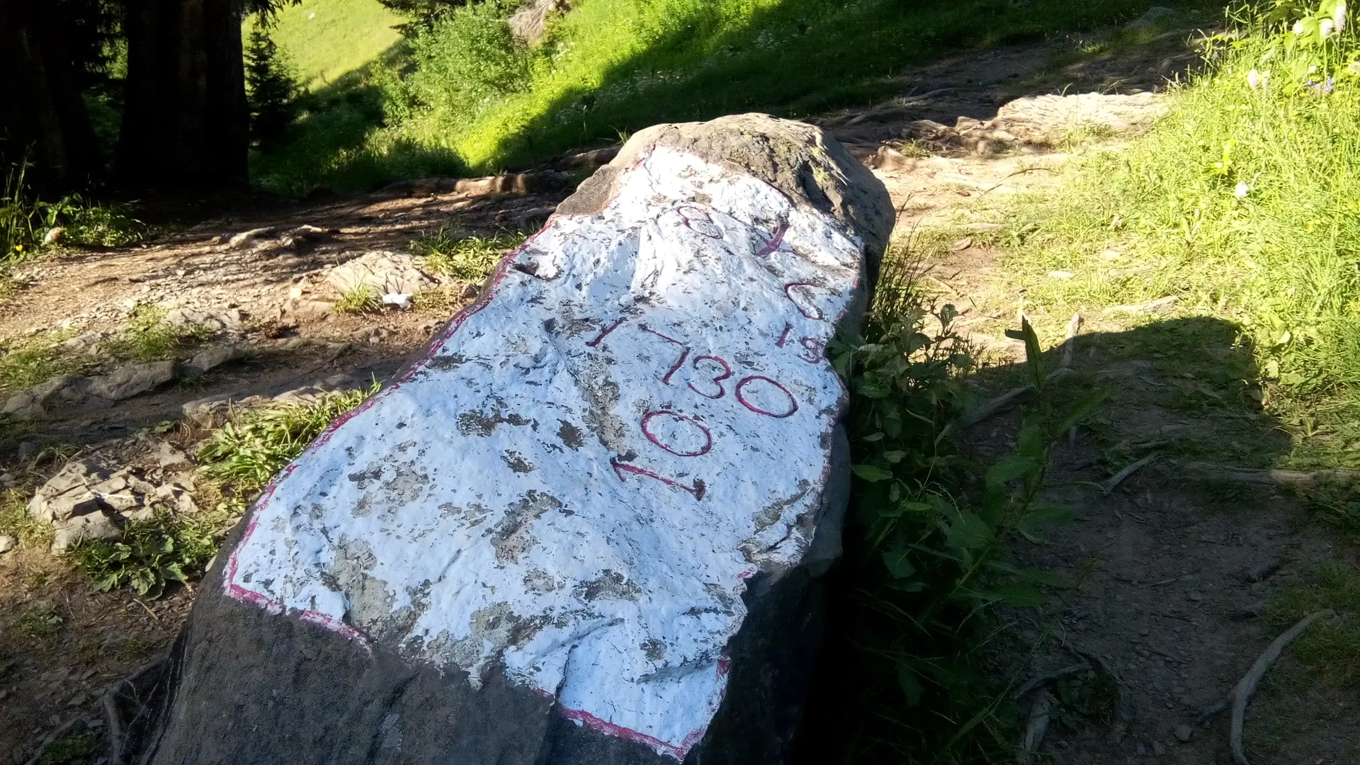
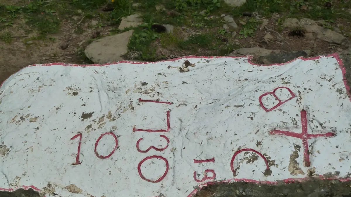
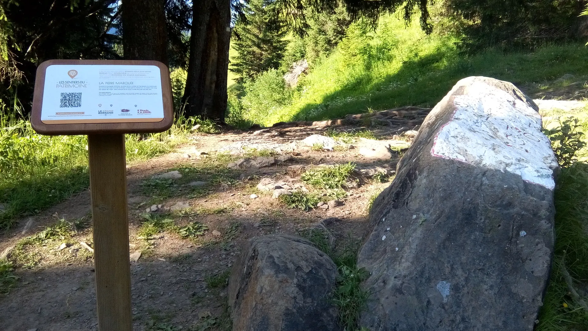
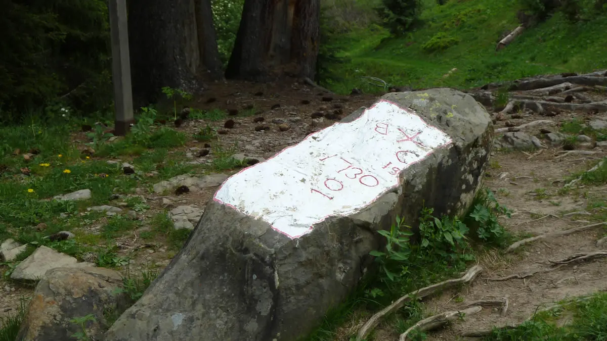
The inscribed border stone, at the foot of the dale of Tardevant, marks the limit between the villages of Le Grand Bornand and La Clusaz. This stone is about 1m. long and is dated 1755.
The inscription of the stone marked the end of a border conflict that lasted almost 300 years.
This limestone boulder is an erratic, left behind by a glacier during the Würm glaciation (Quaternary period). The stone has two holes in it, linked by a short channel. Archaelogical investigation suggests that the stone was used for ancient rites.
In the XVth century, a disagreement on grazing rights broke out between the villages of Le Grand Bornand and La Clusaz concerning the pastures of the Aravis dales, particularly those of the Tardevant. Towards the end of the Middle Ages, the conflicts occured often as there were no clear natural boundaries, such as a stream or a hill crest.
In 1477, this conflict was temporarily resolved by a commision appointed by Janus, the Duke of Savoie. However, the disagreement only really ended in 1755, with the inscription of a cross on a long piece of limestone rock at the foot of the dale below the Tardevant. The stone is on the path linking the Paccaly valley to the Bombardellaz pastures.
This stone still represents the border between the two villages and has done so ever since the Sardinian maps were drawn up, the first European land-ownership maps. The map-making process for the Savoie estates took place between 1728 and 1738, so the map concerning Le Grand Bornand was drawn up during this time.