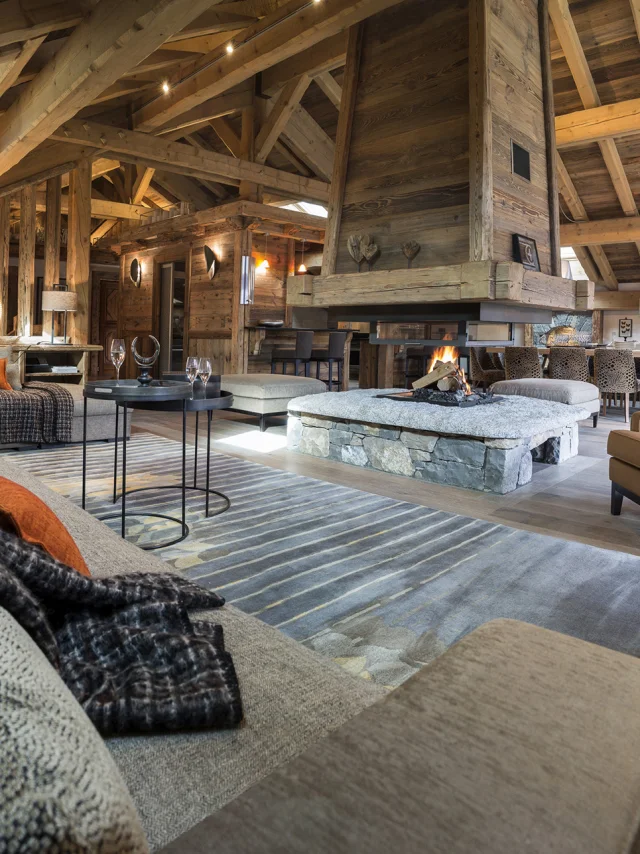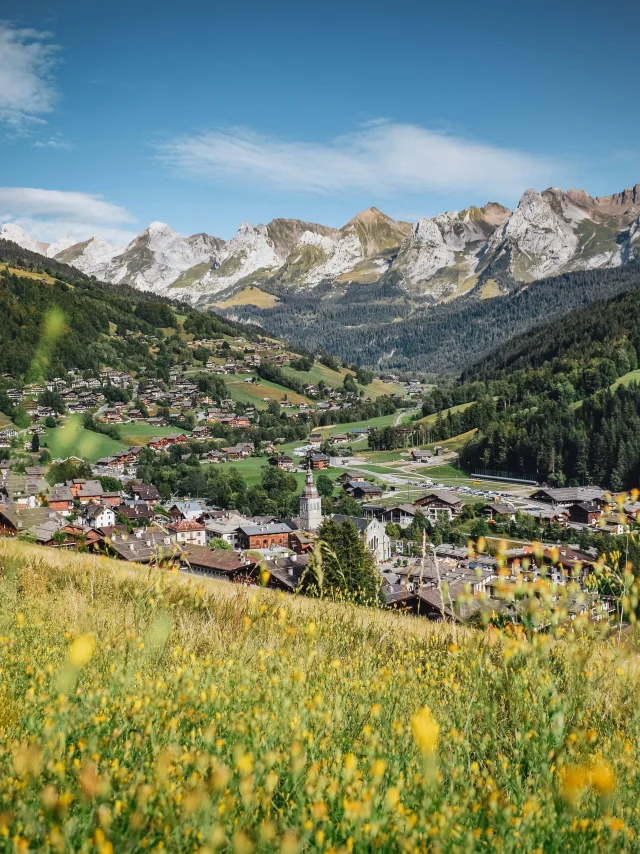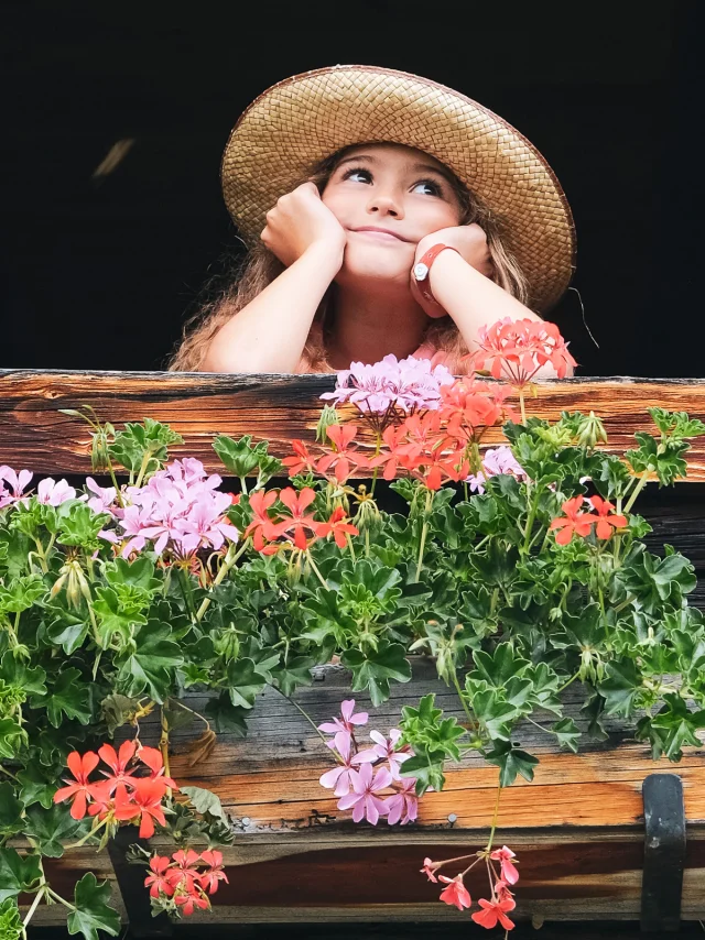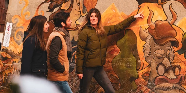


What if the BO!neur was waiting for you at the bend in the trail?A few ideas to guide you...
Whether you prefer winter or summer, you’re sure to find your BO!neur…
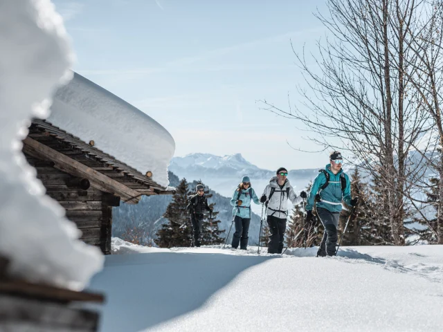
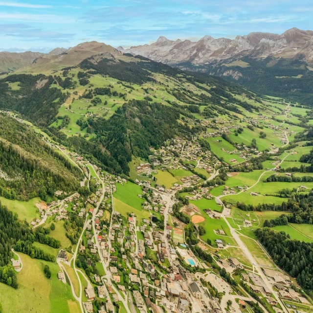
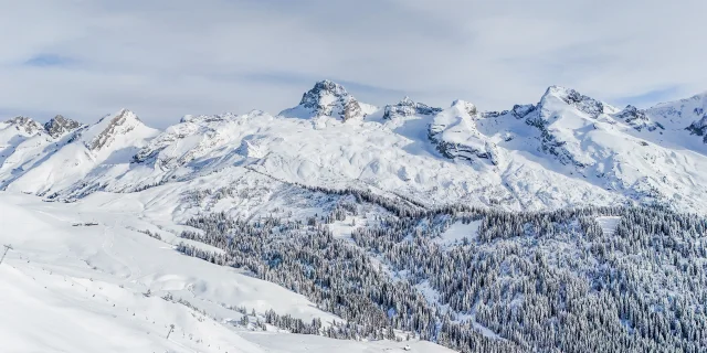
 Dscf4810
Whether you prefer winter or summer, you’re sure to find your BO!neur…

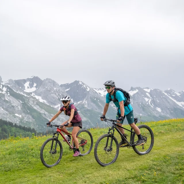
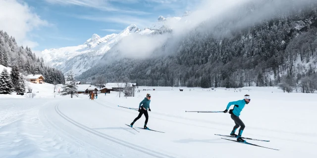
 Lgb 1924