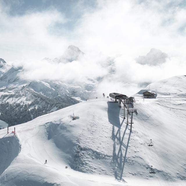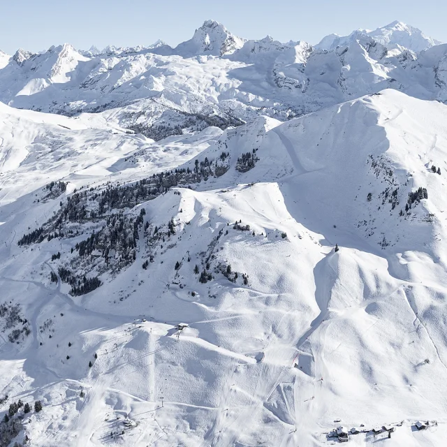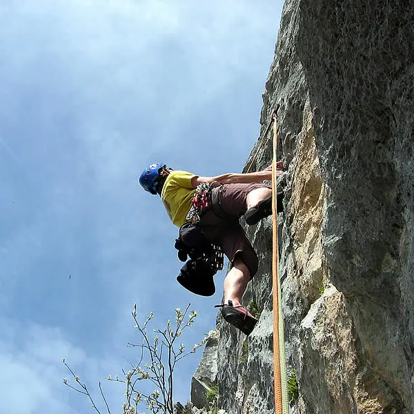

The Rocher de la Salla ("Rocher" is one of many words for "Rock" in French) tops out at 2217 m. This formation separates the Paccaly and Tardevant coombs.
Altitude: 1900 m (base of route)
Height: 200 m
Number of routes: 3
Route rating/difficulty: 5b: 1, 6a: 2, 6b: 9, 6c: 3, 7a: 1
Type of rock: limestone
Aspect: southwest facing, in the sun by early afternoon.
Approach: 1 hour
To consider:
Have a sweater or fleece handy as well as pants in case of cloudy weather.
Bring 50 m double ropes, 15 quickdraws, a helmet, as well as all other basic gear.
Since both routes ascend at a slant, the rappels can be somewhat of a challenge.
Topo: information from the Aravis guidebook (28 climbing areas, 600 routes, 1400 pitches), which you can purchase through the Compagnie des Guides des Aravis (Aravis guide service) - www.compagnie-guides-aravis.com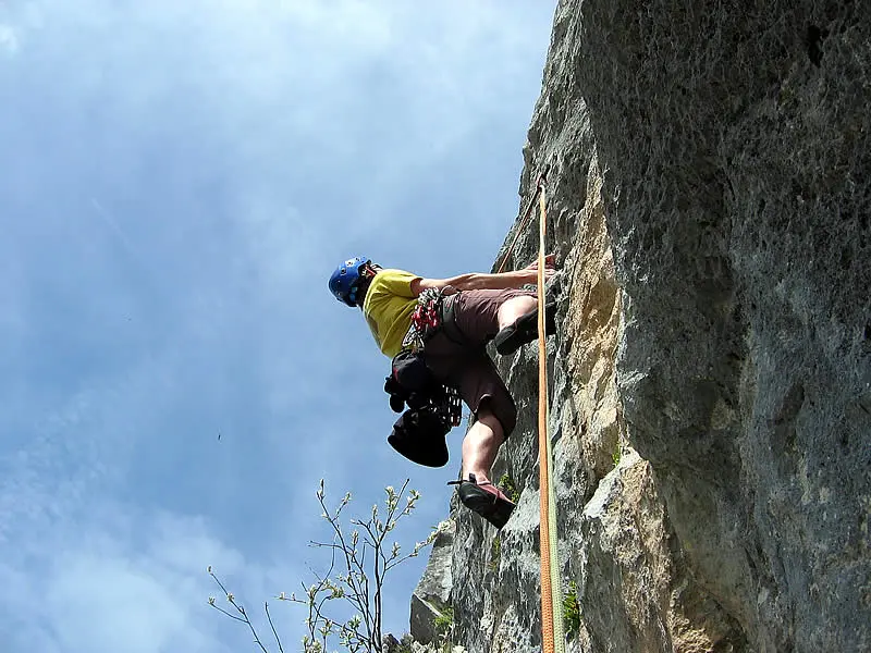