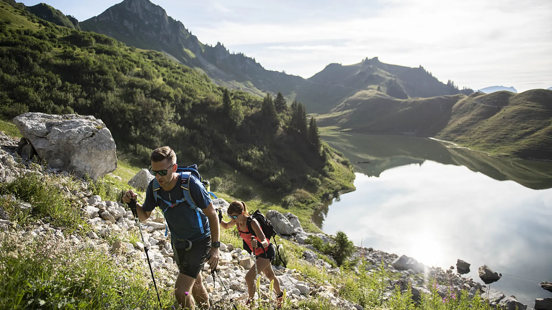
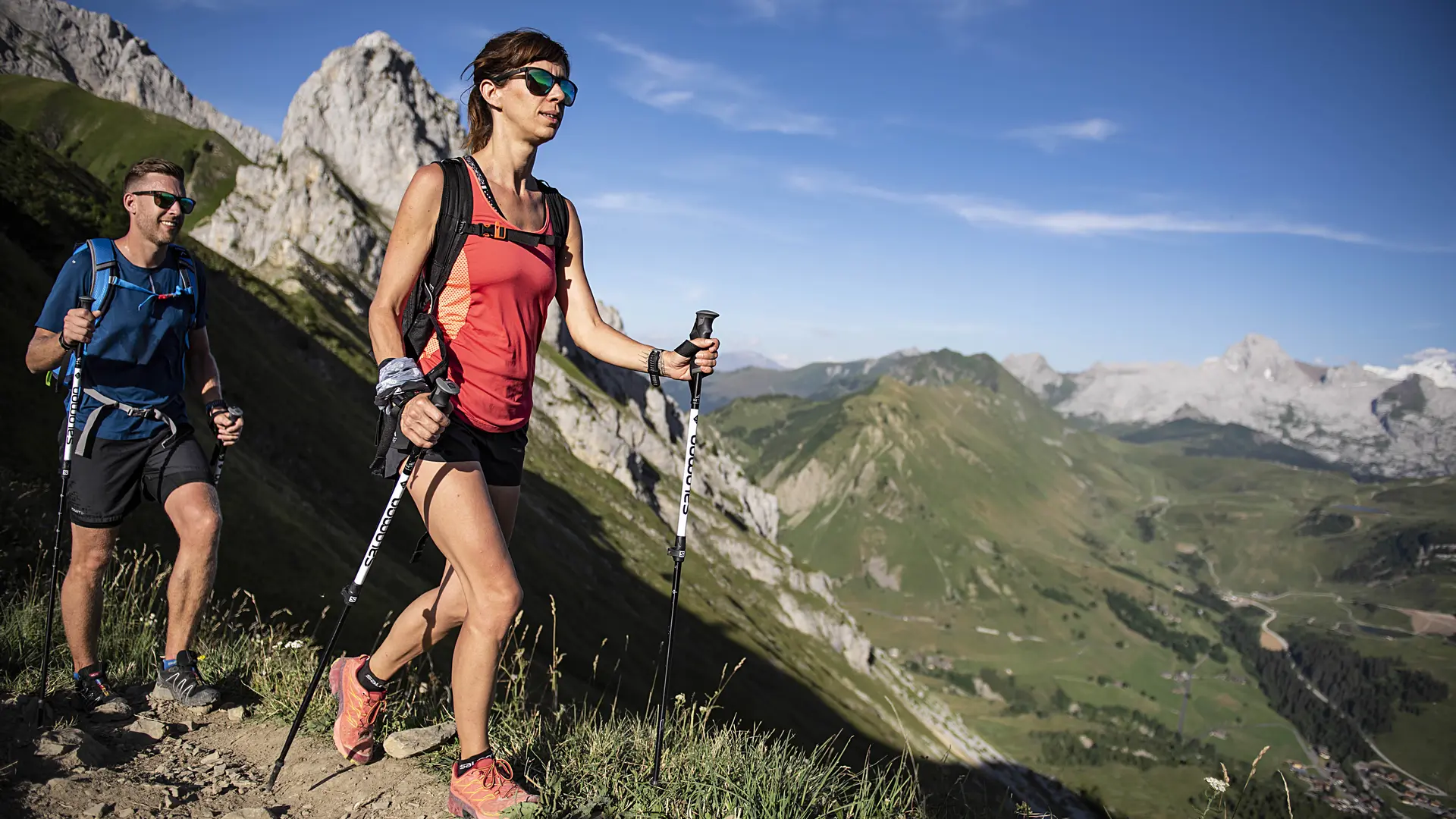
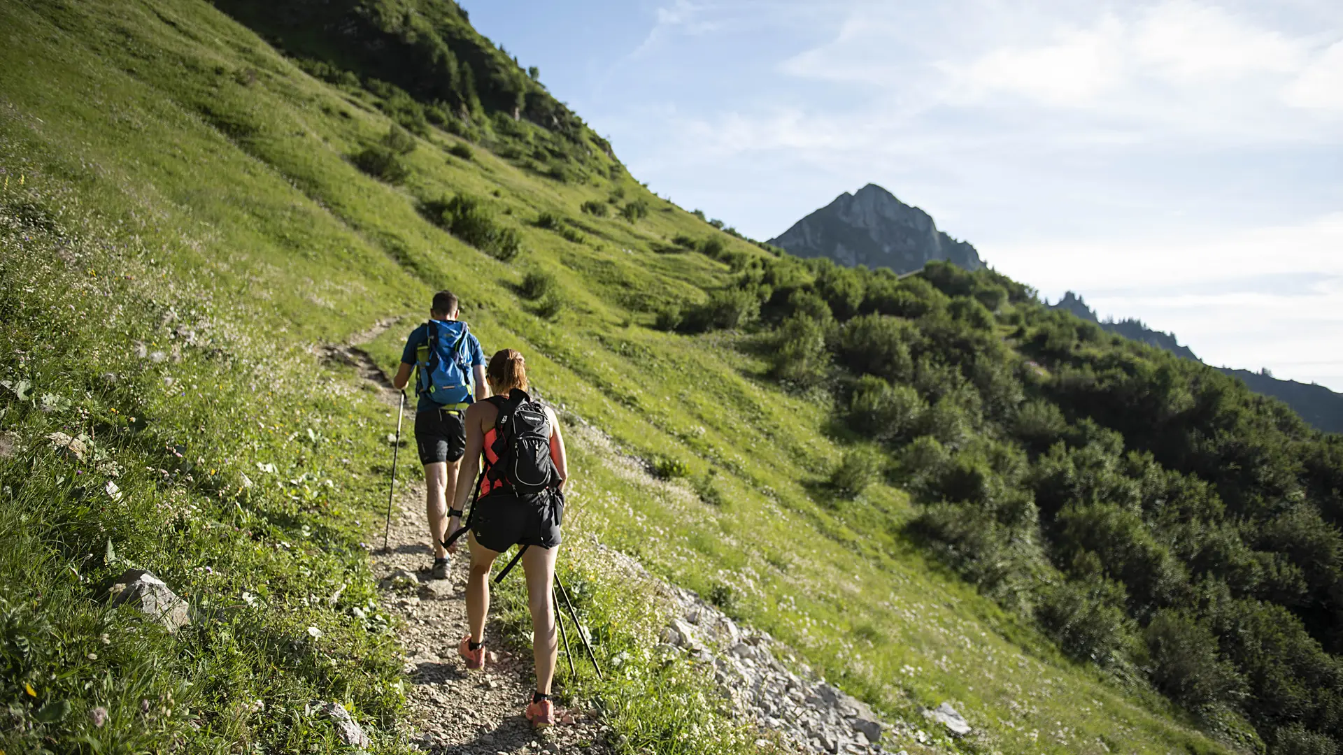
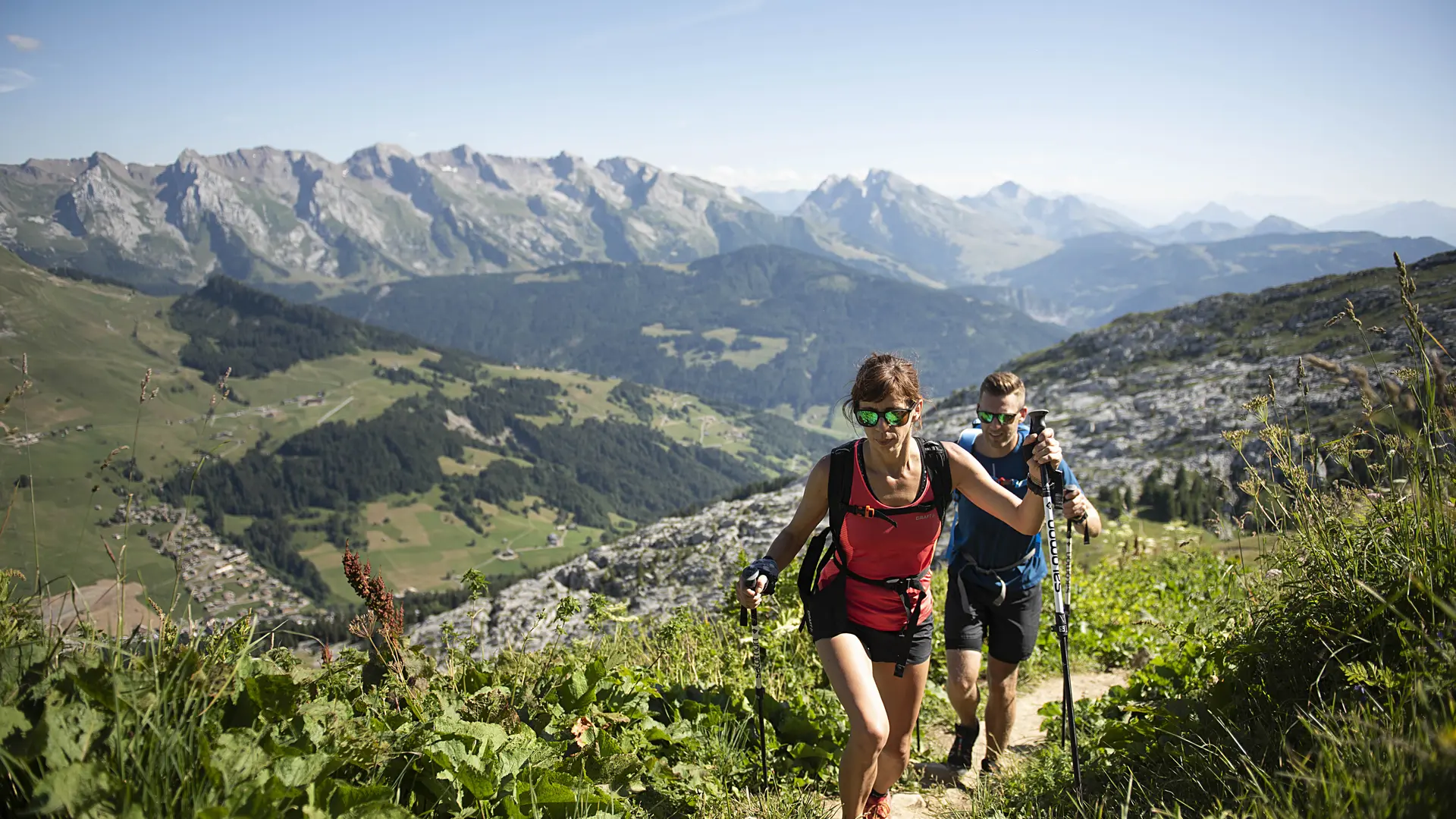
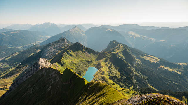
Starting from Le Grand-Bornand Chinaillon, a 2.5 hour loop during which 11 interpretive signs explain the different facets of the mountain environment: flora, fauna, habitat, geology, ...
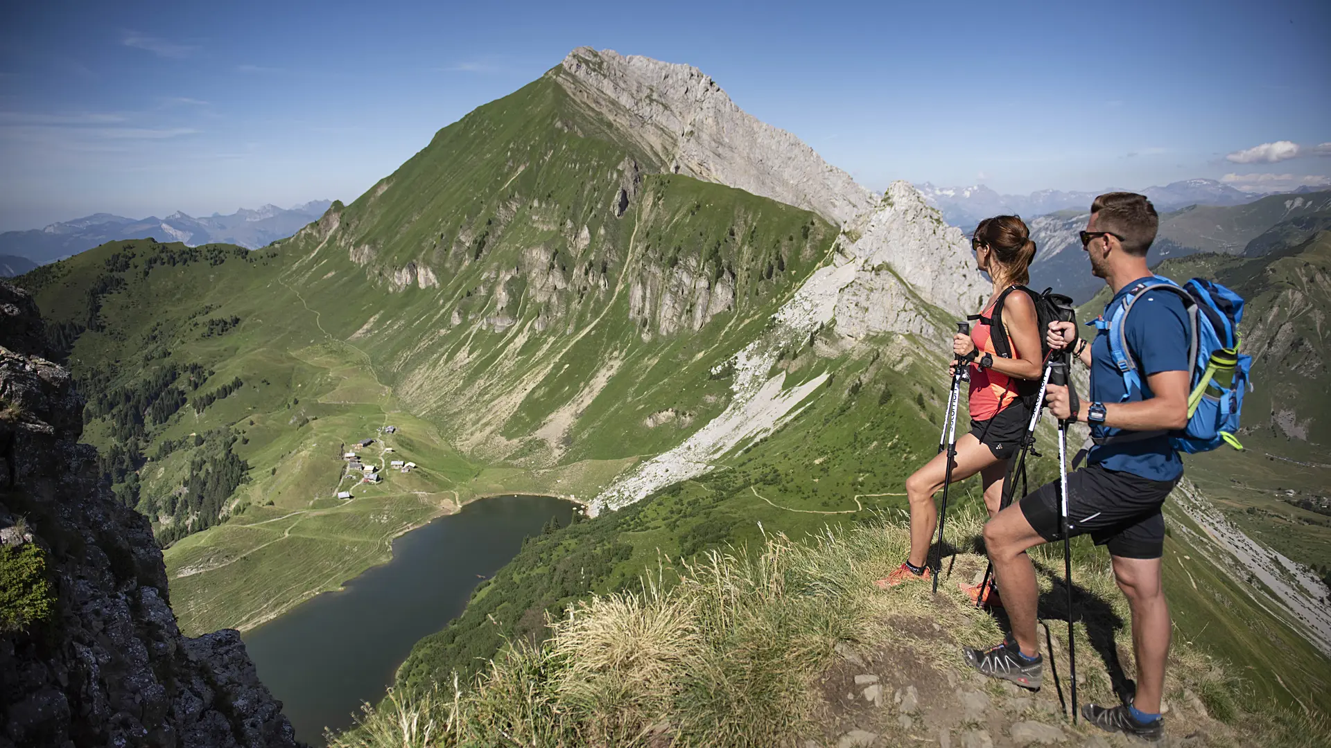
Starting altitude: 1,300 m. Highest point: 1,931 m
Return via the same route. Beware of storms on the ridge.
Alternative route possible to complete a loop with a return via the chalets of Mayse, Le Planay and the old village (elevation gain 1,100 m and 6½ hours).
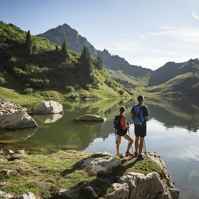
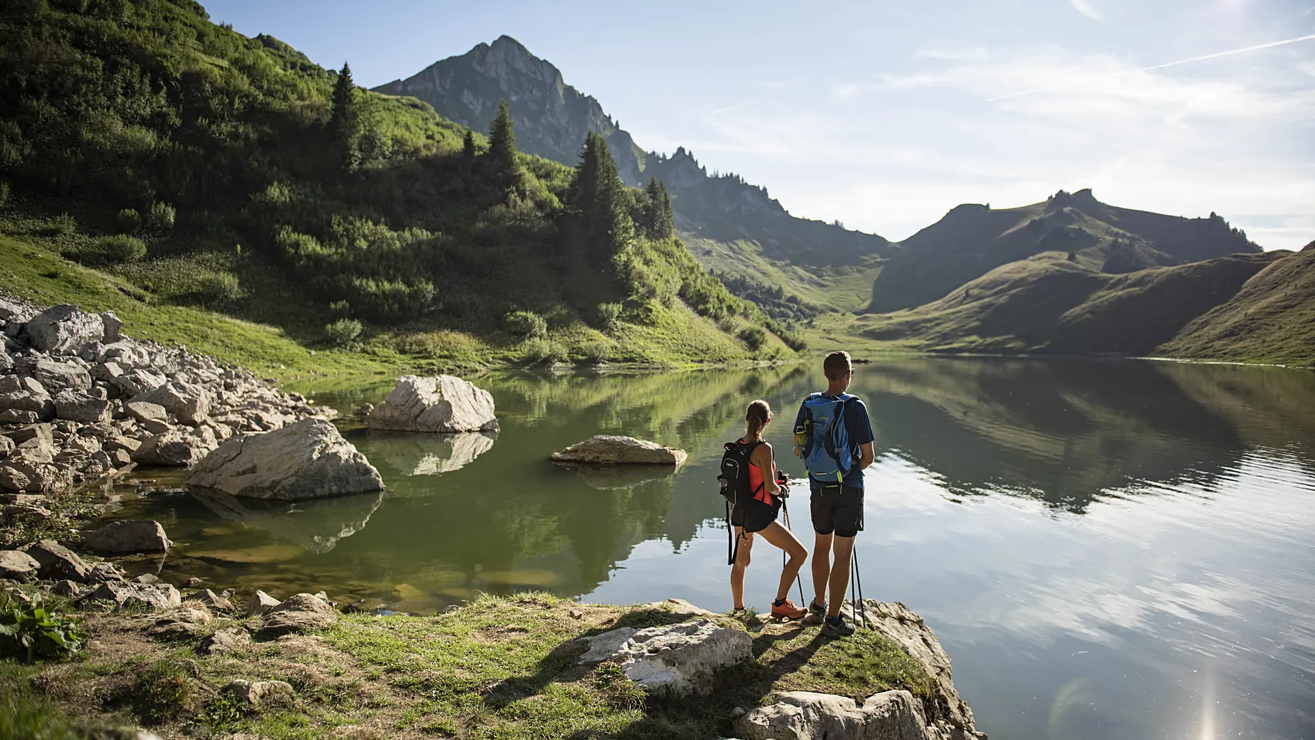
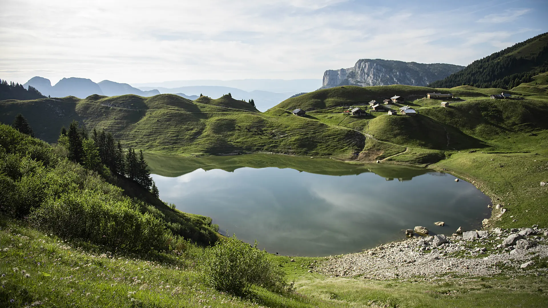
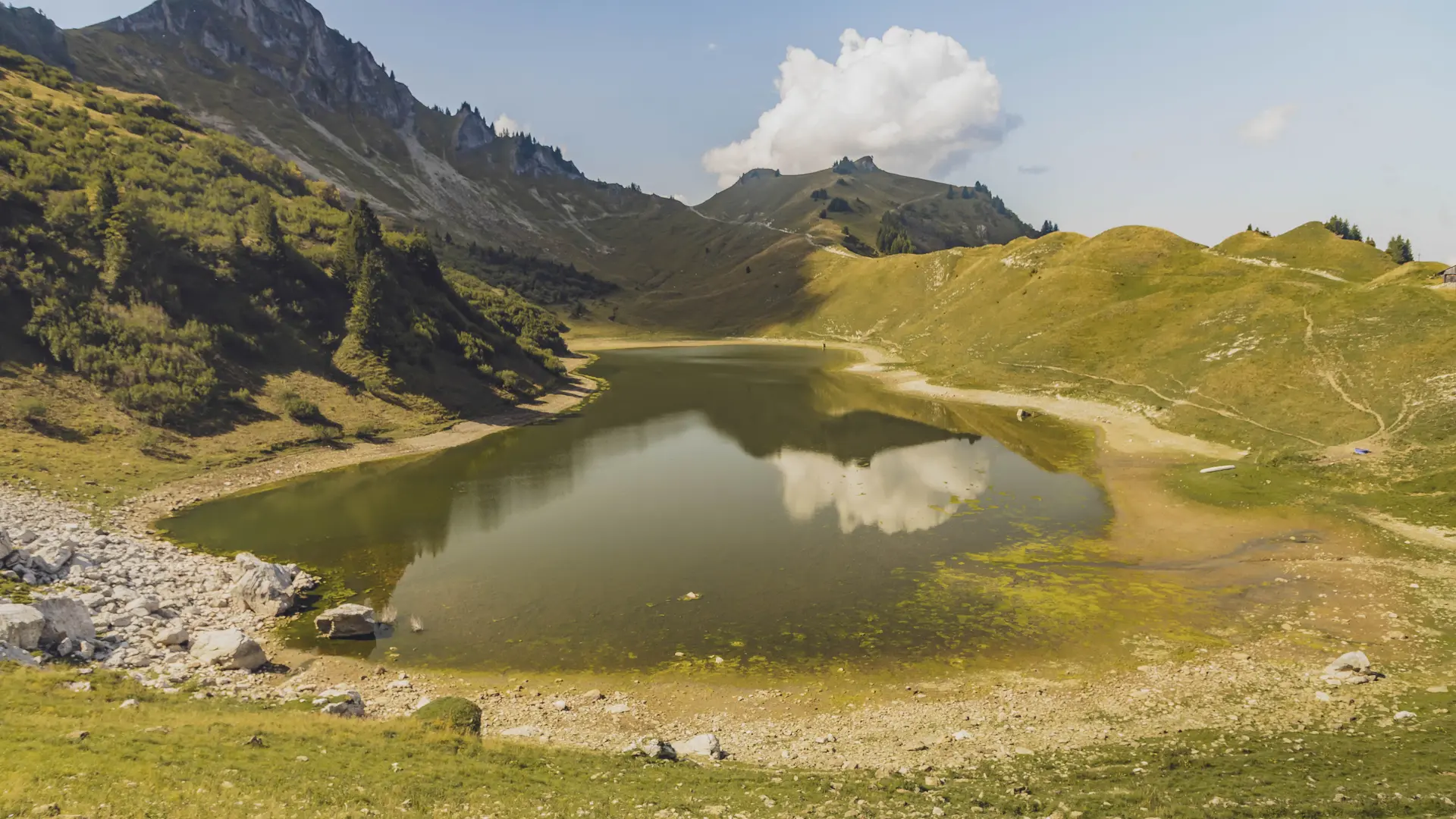
Lake Lessy is part of the Natura 2000 programme, which aims to protect remarkable environments.
In terms of plant life, the lake is home to a very large population of alpine pondweed and a smaller population of thorny buttercup. In terms of amphibians, the lake has a colony of Alpine newts.
In this context, swimming is strictly prohibited.
The following are also strictly prohibited:
- Camping. It is only permitted under the stars (i.e. without tents, tarps or other types of shelter) near the communal refuge at Lake Lessy, with the permission of the caretaker.
- Campfires and outdoor fires, the use of stoves and barbecues.
- Drones.
- Slacklines.
Fishing is permitted: 1 catch per day per fisherman, single barbless hook, natural bait or fly only. River permits are available for purchase at the Grand-Bornand Tourist Office.
Read more
Plain text period
From 01/05 to 30/11 daily.
From spring to autumn, depending on snow and weather conditions. Inquire about conditions before heading out. You are responsible for your own safety.