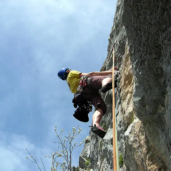

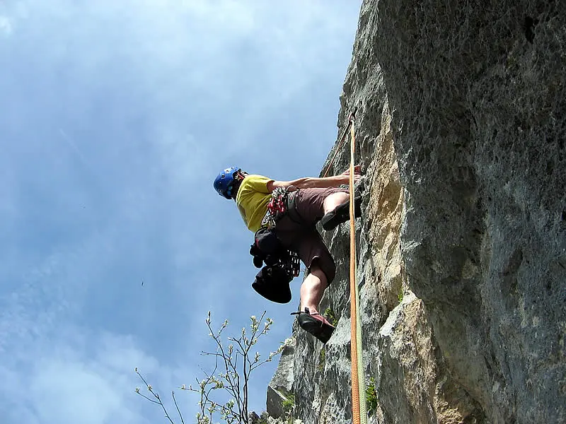
The "Aiguille Noire de Tardevant" tops out at 2232 meters. This "Matterhorn of the Aravis Mountains" ("aiguille" means "spire") separates the Tardevant and Grande Forclaz coombs (gullies). Fantastic northeast-facing limestone routes.
Read moreShow less
Altitude: 2000 m (base of route)
Height: 230 m
Number of routes: 5
Route rating/difficulty: 3c: 1, 5b: 1, 5c: 1, 6a: 6, 6b: 4, 6c: 6 , 7a: 5
Type of rock: limestone
Aspect: northeast facing, routes are in the sun only in the morning, and in the shade as of early afternoon.
Approach: 1 hour 30 minutes
To consider: bring 50 m double ropes and 14 quickdraws.
Topo: information from the Aravis guidebook (28 climbing areas, 600 routes, 1400 pitches), which you can purchase through the...
Services
Services
Car park
Rates
Rates
Free
Guidebooks available for sale at the Tourism Office.
Openings
Openings
From 1 May 2025 until 31 October 2025 - Open everyday
Location
Location
Contact Rock Climbing: multi-pitch route on the Aiguille Noire de Tardevant
Spoken languages
Spoken languages
Access
Access
- Ask for information at the Tourism Office or refer to the guidebook to locate the different climbing areas.
From La Clusaz, take the road that leads to Les Confins. Park in the parking lot at the end of the road. Take the wide hikers' trail for 10 minutes to "Paccaly d'en Bas" (a small hamlet). From there, take the trail called "Tour de la mouche" that leads for 15 minutes up the Paccaly coomb to a place called "Paccaly d'en Haut". Continue left towards the Tardevant coomb until you reach an intersection. At the intersection take the trail to the left that heads to the Grande Forclaz coomb. This will take 15 minutes. Head up the coomb towards the "Aiguille Noire de Tardevent", and after roughly 40 minutes head up to the base of the spire (another 10 minutes). Total approach time is 1.5 hours.
Note: "Combe" in French means "coomb" in English, as well as "gully or small valley". The Aravis Mountains are made up of a series of "coombs", and are referred to on both the topographic map as well as in the guidebook.