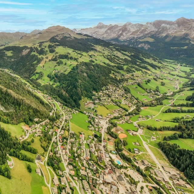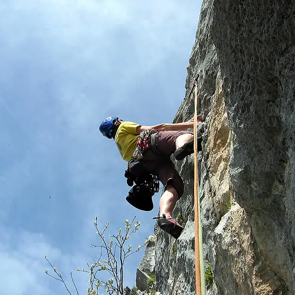

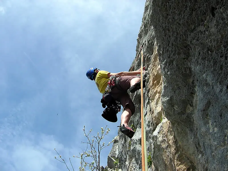
The Rocher de la Salla ("Rocher" is one of many words for "Rock" in French) tops out at 2217 m. This formation separates the Paccaly and Tardevant coombs.
Read moreShow less
Altitude: 1900 m (base of route)
Height: 200 m
Number of routes: 3
Route rating/difficulty: 5b: 1, 6a: 2, 6b: 9, 6c: 3, 7a: 1
Type of rock: limestone
Aspect: southwest facing, in the sun by early afternoon.
Approach: 1 hour
To consider:
Have a sweater or fleece handy as well as pants in case of cloudy weather.
Bring 50 m double ropes, 15 quickdraws, a helmet, as well as all other basic gear.
Since both routes ascend at a slant, the rappels can be somewhat of a challenge.
Topo:...
Services
Services
Car park
Rates
Rates
Free
Guidebooks available for sale at the Tourism Office.
Openings
Openings
From 1 May 2025 until 31 October 2025 - Open everyday
Location
Location
Contact Rock climbing: multi-ptich route up Rocher de la Salla
Spoken languages
Spoken languages
Access
Access
- Ask for information at the Tourism Office or refer to the guidebook to locate the different climbing areas.
From La Clusaz, take the road that leads to Les Confins. Park in the parking lot at the end of the road. Take the wide hikers' trail for 10 minutes to "Paccaly d'en Bas" (a small hamlet). From there, take the
trail called "Tour de la mouche" that leads for 15 minutes up the Paccaly coomb to a place called "Paccaly d'en Haut". From there head right, towards the Trou de la Mouche, up the Paccaly coomb, for approximately 25 minutes. At the base of a small cliff, head left horizontally through first a pasture, then scree, towards a small cave (10 minutes). Total approach time approximately 1 hour.
Note: "Combe" in French means "coomb" in English, as well as "gully or small valley". The Aravis Mountains are made up of a series of "coombs", and are referred to on both the topographic map as well as in the guidebook.