



Description
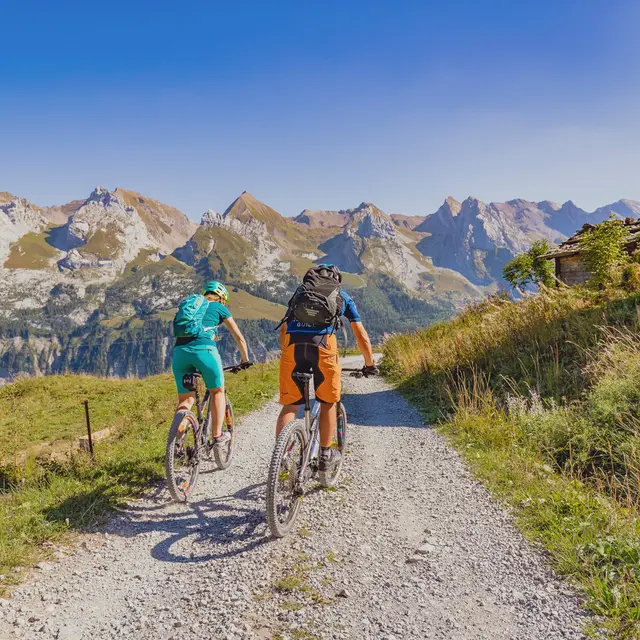
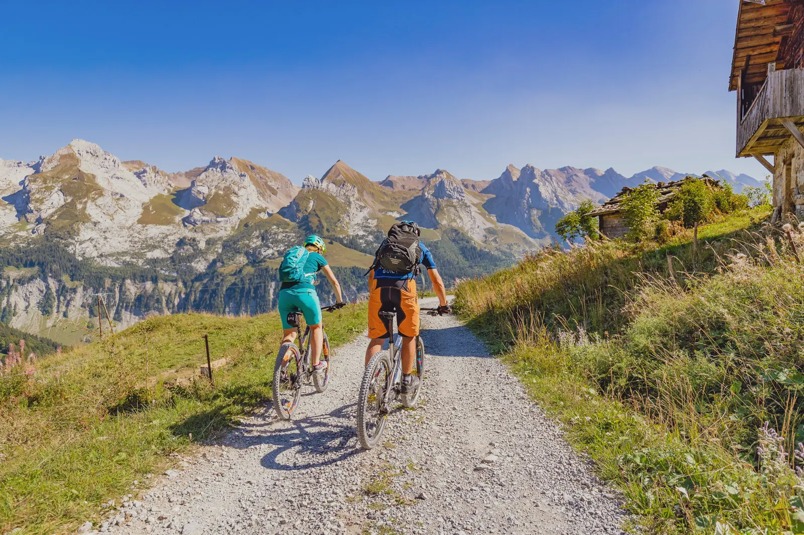
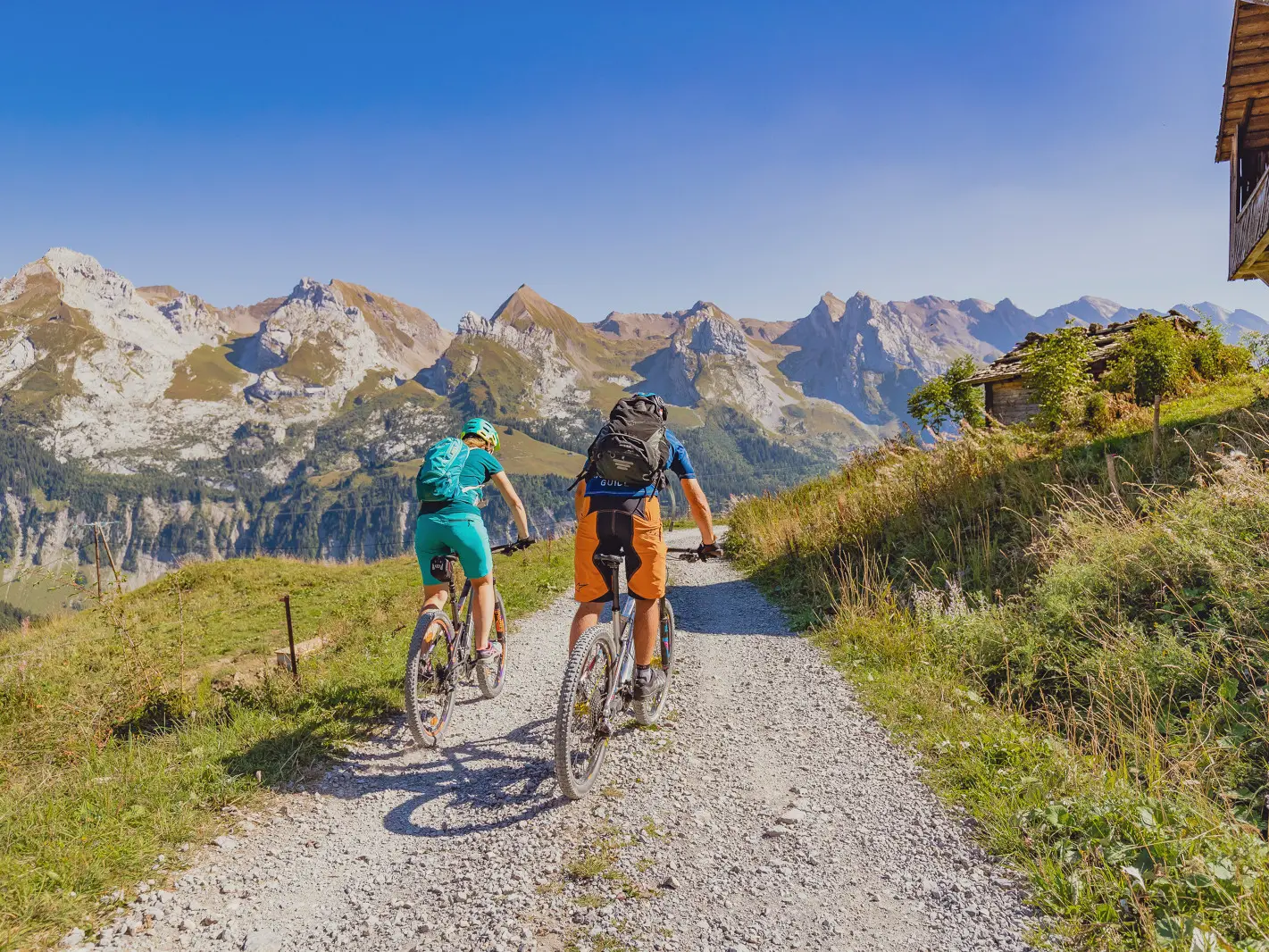
16 itineraries, 178 km marked out on the resort, 2 lifts open during the summer season. Washing station at the Rosay gondola. A Ludopark with a natural Pump Track.
Mountain biking in the Aravis :
- Highest point : 2000 m
- Maximum difference in altitude : 1000 m
- 13 all mountain itineraries
- 10 downhill trails
- 1 north-shore in La Clusaz
- 1 four-cross in La Clusaz
- 3 mountain bike wash stations
- 6 accessible ski lifts :
- Le Grand-Bornand : Rosay gondola, Lachat chairlift
- La Clusaz : Crêt du Merle chairlift and Beauregard cable car
- Manigod : Le Chevreuil chairlift
Maps and guides are on sale at the Tourist Office and in the shops of the resort.
In Grand-Bornand :
- Route 1 : Boucle des Hameaux - green - 9.3km
- Route 2 : Tour du Grand-Bornand - black - 25.2Km
- Course 26: Balcon des Aravis - blue - 23.3Km
- Route 27: Vallée du Bouchet - green - 7.3Km
- Route 28 : Balcon du Mont - blue - 9.6Km
- Route 3 : Tour des Arces - blue - 8Km
- Route 34 : Virolo - blue - 2.6Km
- Course 4: Tour du Lachat - red - 18,2Km
- Course 41: Tour du Danay - red - 20.9Km
- Course 5: Rosay-Le Grand-Bornand Village - green - 12.2Km
- Course 6: Enduro du Grand-Bo - red - 10.8Km
- Course 7: Crêtes du Maroly - red - 18.2Km
- Course 8: Les Confins - Le Grand-Bornand Village - blue - 9.2Km
- Ludopark de Lormay : 2 playful courses and 1 pumptrack
On sale at the Tourist Information Center: map of Le Grand-Bornand mountain bike trails at a scale of 1:25,000 - 3 €
Please note:
Measurement scale: On a map at a scale of 1:25,000, 4 cm represents 1 km.
A difference of 1 mm between two contour lines is equivalent to a gradient of 40%.
The Aravis mountain-bike pass is sold at the ski lift ticket offices.
Rates
Free access.
—
Some routes start at the top of the Rosay cable car (paid access, no extra charge for mountain bikes).
Payment methods
 Check
Check Bank/credit card
 Cash
Cash Travellers Cheque
Accepted customers
- Children
- Mountain bikers
Openings
From 1 May 2026 until 30 November 2026 - Open everyday
From spring to autumn, depending on snow and weather conditions. Inquire about conditions before heading out. You are responsible for your own safety.
Location
Plan interactif : 1 lieux répertoriés.
- Lieu sans nom
Environment
Environment
- Lakeside or by stretch of water
- Riverside
- Forest location
- Lakeside or by stretch of water
- Near shuttle stop
- Mountain location
- Close to a public transportation
- Isolated
- River 5 km away
- Ski resort
- Village 2 km away
- Close to GR footpath
Access
Access
- For more information head to the Tourism Office or refer to the various maps and guidebooks to locate the different circuits and trails.