Guidebook with maps/step-by-step
1/ From the "Le Chinaillon (Office de Tourisme Parking)" sign, follow "Le Chinaillon (Office de Tourisme)".
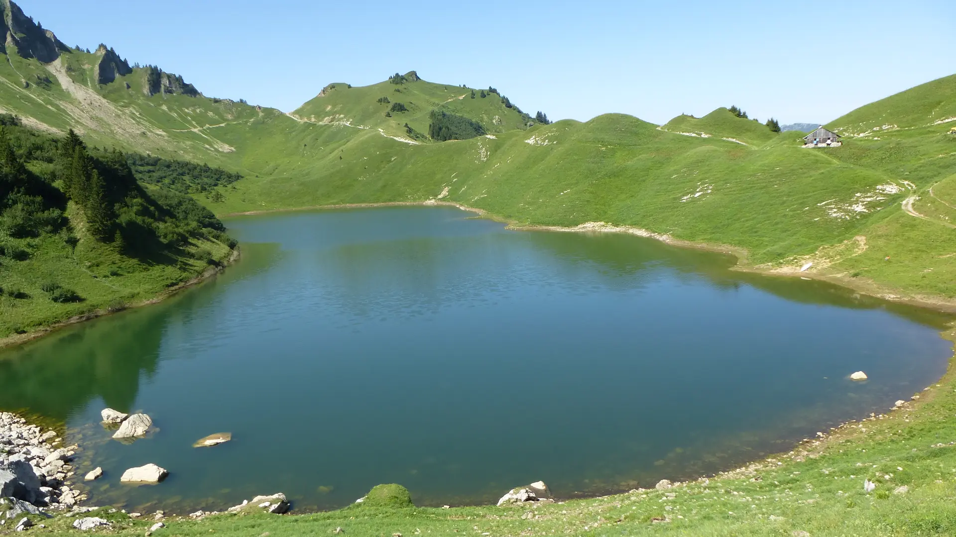
2/ From "Le Chinaillon (Office de Tourisme)", follow signs for "Lac de Lessy (Refuge)" via Chalets de Mayse, then follow signs for "Lac de Lessy (Refuge)". You will then pass "Le Chinaillon (Jallouvre)", "Le Chinaillon Vieux Village", "Le Chinaillon d'en Haut", "La Bouvardière", "La Culaz", "Le Planay", "Chalets de Mayse" and "Col de la Forclaz".
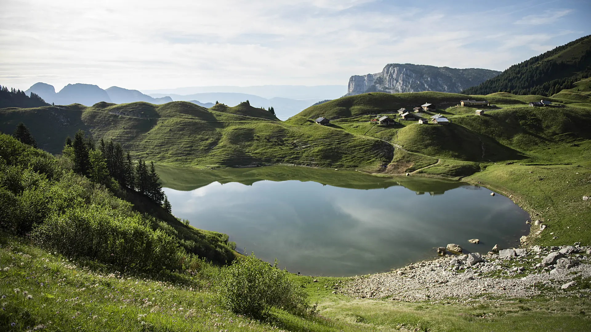
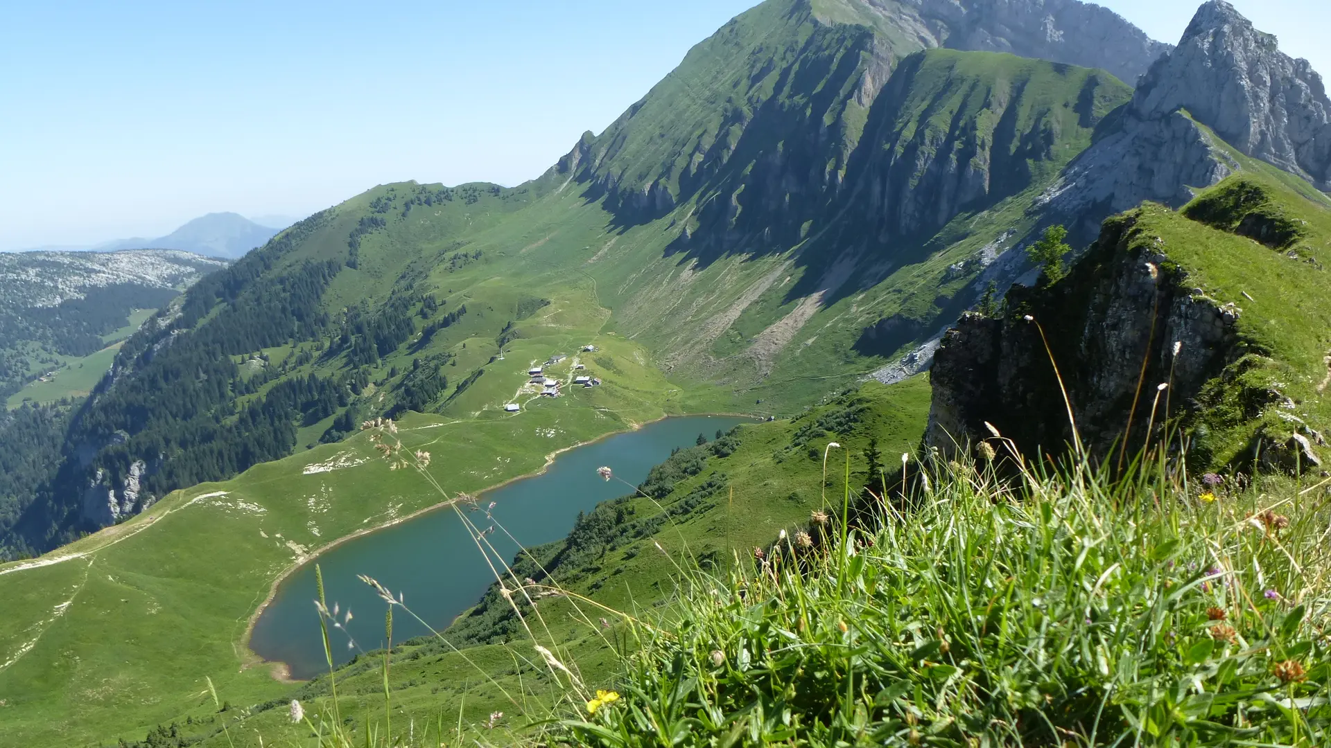
3/ Arriving at "Lac de Lessy (Refuge)", continue the loop by taking the direction of "Le Chinaillon Office de Tourisme" via Samance. Always follow the signs for "Chinaillon (Office de Tourisme)". You'll pass "Sous le Buclon", "Sur le Freu Nord", "Sur le Freu" then "Bassins de Samance".
4/ At "Bassins de Samance", follow signs for Le Chinaillon Office de Tourisme via Samance, then follow signs for "Chinaillon (Office de Tourisme)". You'll pass "Sur la Québlerie", "Samance (Table d'orientation)", "Samance", and "Le Chinaillon (Office de Tourisme Parking)": your starting point.