Snowshoe trail 27 - La Communaille - Le Replein

  • Sport
  • Winter sports
  • Snowshoe itinerary
Elevation : 930m
Place de La Grenette, Le Grand-Bornand Village, 74450 Le Grand-Bornand

Description

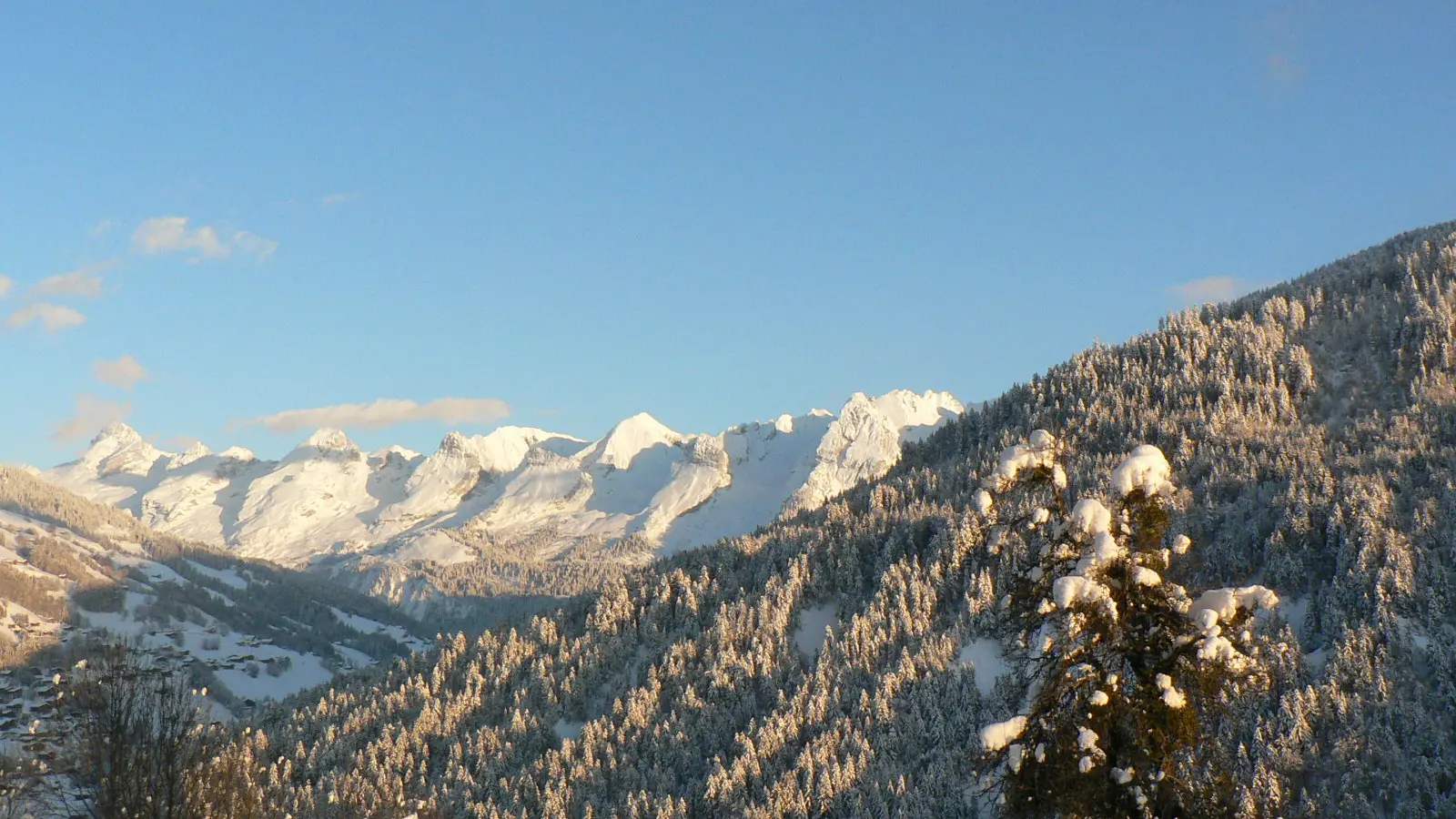
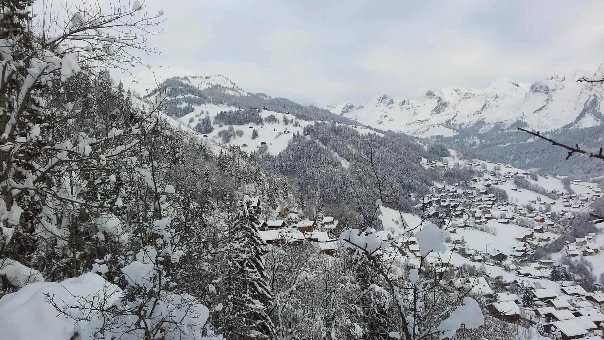
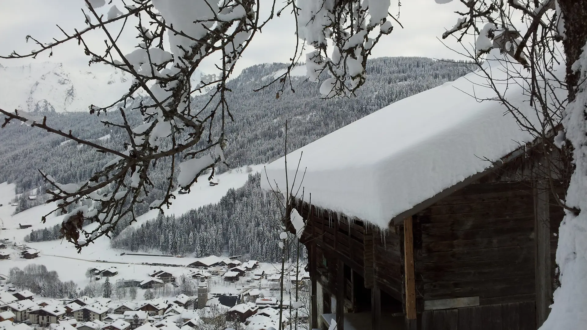
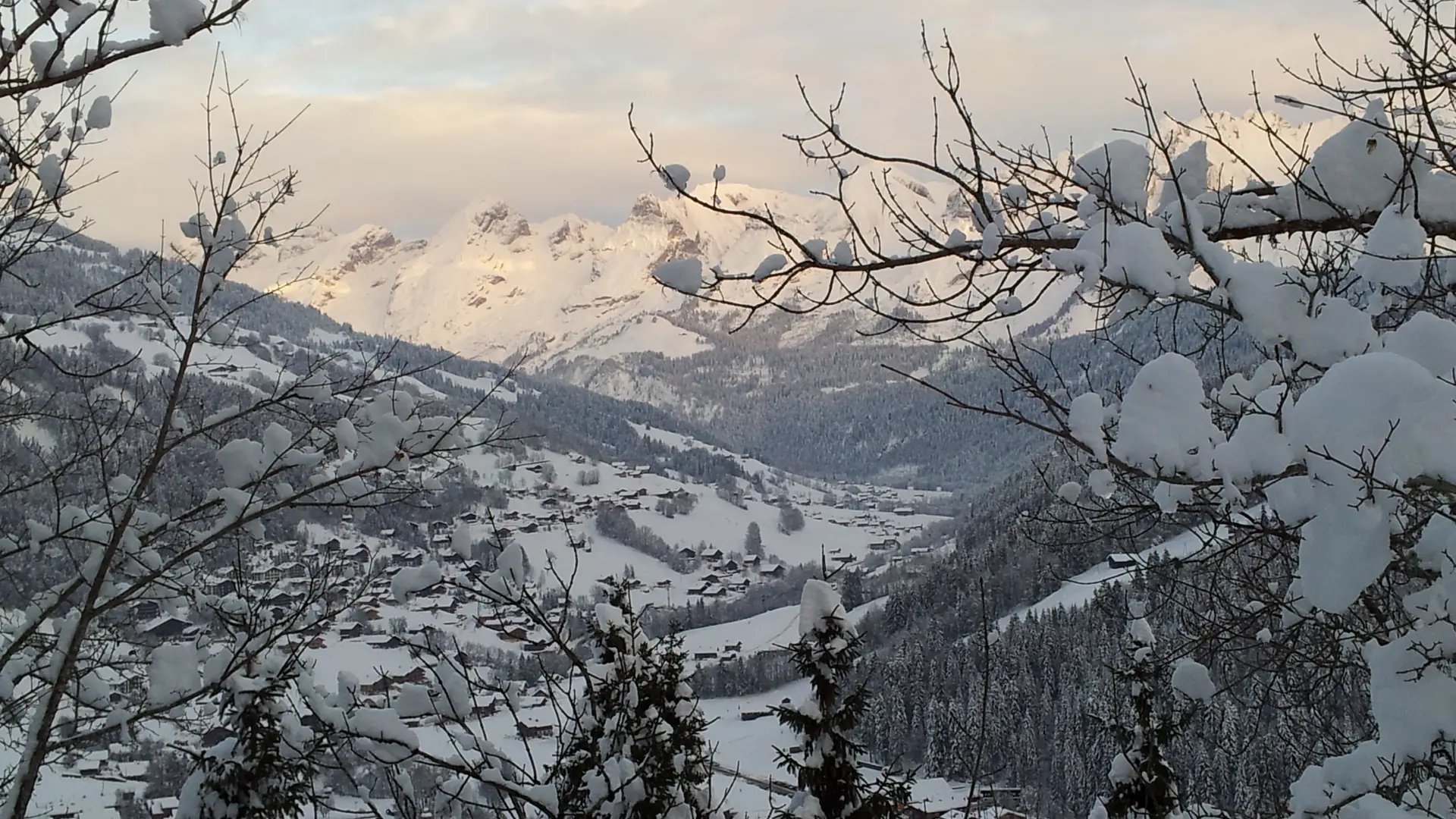
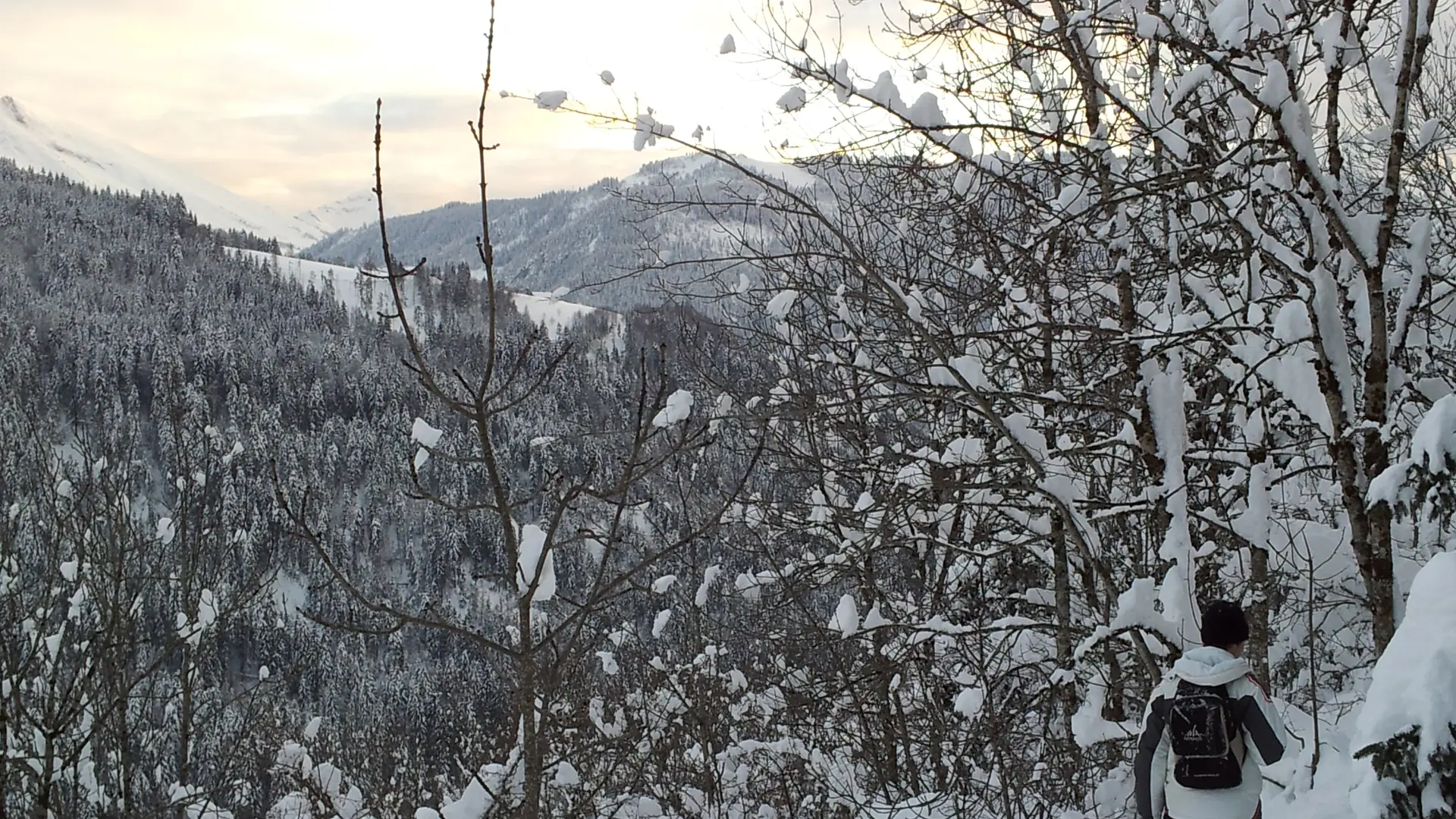
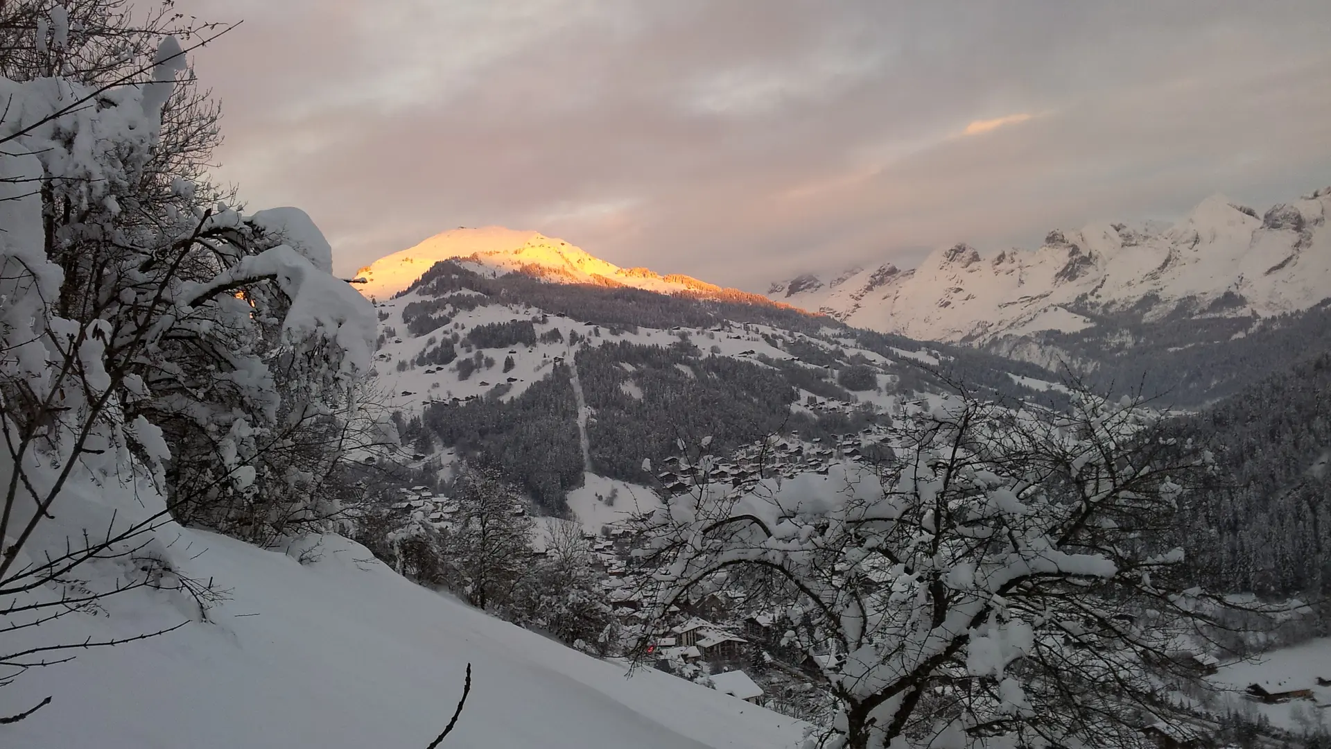
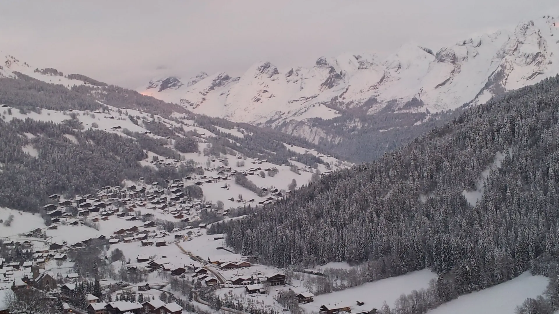
South-facing loop overlooking Le Grand-Bornand Village. Breathtaking view of Le Grand-Bornand Village and the Aravis mountain range.
Safety and Code of Conduct - Please respect private property: stay on the signposted paths. - All routes are used at the hiker’s own risk, as they are not monitored. - In the event of bad weather or impassable snow cover, some routes may be inaccessible. Information is available on the resorts’ websites under the ‘Live piste openings’ section, at Tourist Information Centre or from the piste service. - Following a snowfall, the route remains signposted but has not been groomed. - Choose your route according to your fitness level and the weather conditions. Check the weather forecast. - Remember to bring warm, waterproof clothing. Weather conditions in the mountains can change very quickly. - Take sufficient food and water with you. Mountain sports require a significant amount of energy. - Never hike alone. - Do not set off too late in the afternoon to ensure you return before nightfall. - Do not use cross-country or downhill ski runs. Crossing the slopes is permitted only at points marked by a sign. Please be mindful of the wildlife around you! In winter, mountain wildlife is particularly vulnerable. By following a few basic guidelines, you can help to protect it: - Use the designated tracks and trails for snowshoeing. - Avoid wooded areas. - Respect sensitive areas marked by protective nets or ropes. - Respect the environment - Remember to keep your dogs on a lead.
  • Guidebook with maps/step-by-step
    From Place de la Grenette, in the village centre, walk up the narrow lane known as Chemin de la Forclaz, which climbs between Le Grenier d'autrefois and the hotel-restaurant La Pointe Percée. Continue until you reach the junction with Route du Chinaillon. Cross it (take care!) following signpost 27. The climb is enlivened by numerous wood carvings on the theme of the magic of the forest. A fairly steep path will take you to an orientation table offering a panoramic view. Continue along the path shared with route 26, which runs alongside the forest to the hamlet of Le Replein. Take the road downhill for 100 m and turn left to head back towards the village. Return to the village via the Route des Côtes. At the sign for “Sur Villeneuve”, take a small, steep path on the right which leads out onto the road. Cross it and head down to the village.

    Longer alternative:
    From the orientation table, continue uphill following route 26. Once at Plan de la Forclaz, head down through the Haut de Villeneuve woods to return to the village centre via Le Replein, following the shared route 26 and 27.
    Duration: 2 hours 45 minutes. Elevation gain: +320m / -320m. Distance: 5.6km

Further information on localisation

Further information on localisation
Getting to Le Grand-Bornand by bus: From Annecy, bus routes Y62–Y63. From St Pierre en Faucigny, bus routes 460–461 (connection with the Léman Express).

Services

Accessibility
Animals accepted

Accessibility

Not accessible in a wheelchair

Accepted customers

  • Walkers/hikers
  • Level bue - Medium
  • Children
  • Minimum age (in years) : 7

Plain text period

From 15/12 to 15/04 daily.
Ask for advice at the Tourist Office.

Subject to favorable snow and weather conditions.

Environment

  • Mountain view
  • Forest location
  • Mountain location
Updated on 04 November 2026 at 11:50
by Le Grand-Bornand Tourisme
(Offer identifier : 4794582)
Page suggestions
Filter search
Page types
  • All
  • Articles
  • Agenda
  • Lists
No results