©

Header Desktop Appli

The Lac Annecy Aravis Outdoor app to guide you!

Walking, running, cycling: there’s something for everyone!

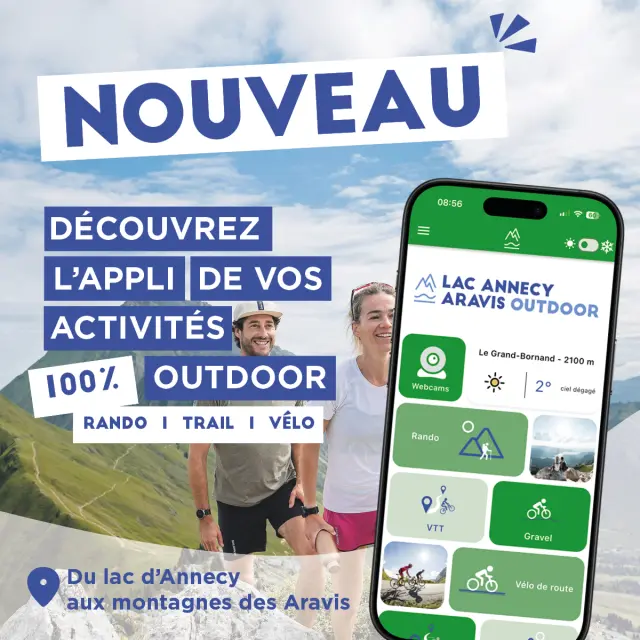
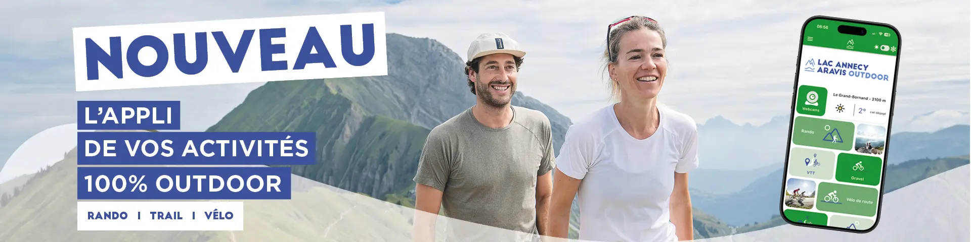
Lake Annecy Aravis Outdoor

The app offers you a selection of sites and itineraries for nature activities, all over the region.
All the information about Lac Annecy Aravis Outdoor is available on the mobile app and on the interactive route map.
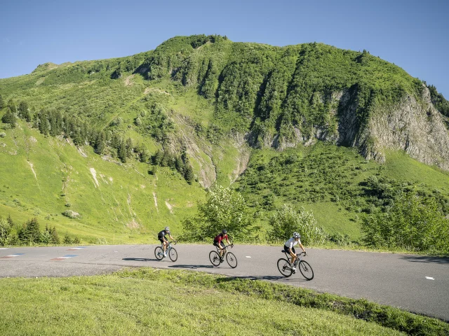
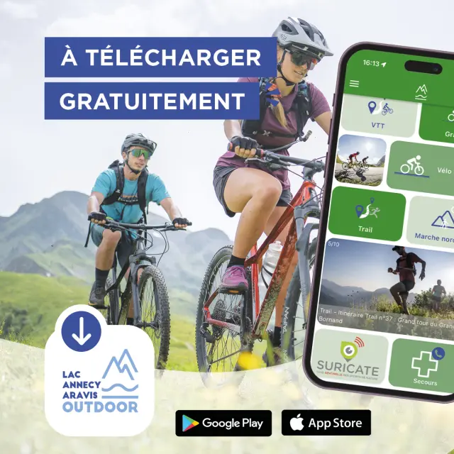
With the free Lac Annecy Aravis Outdoor app, download walking, trail and cycling routes. Charge your smartphone and let the GPS guide you.
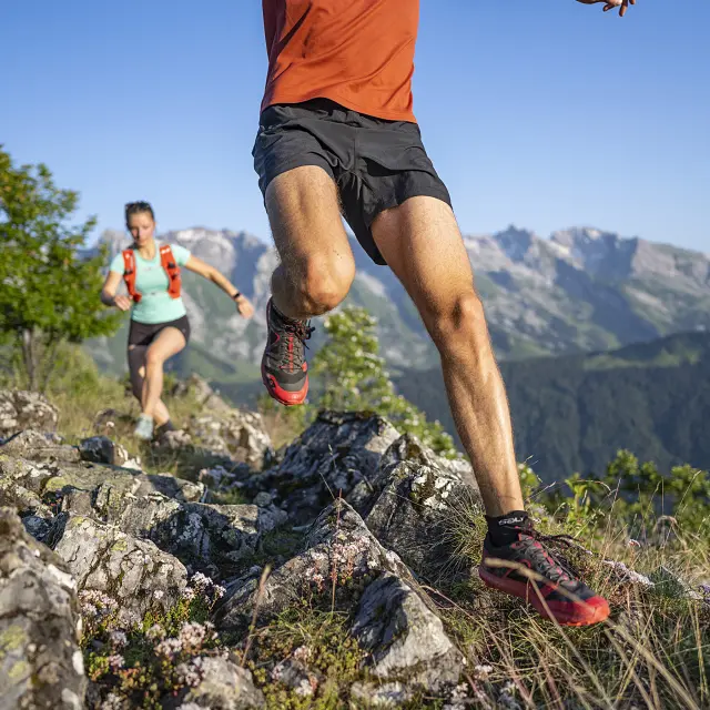
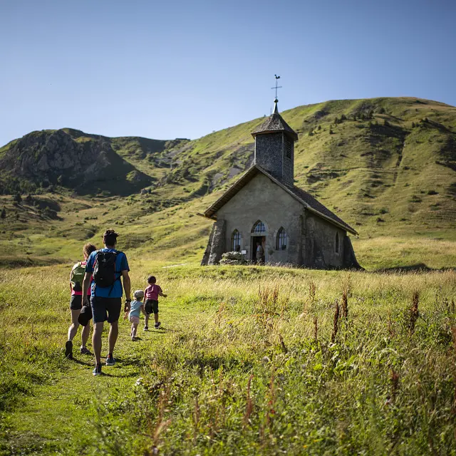
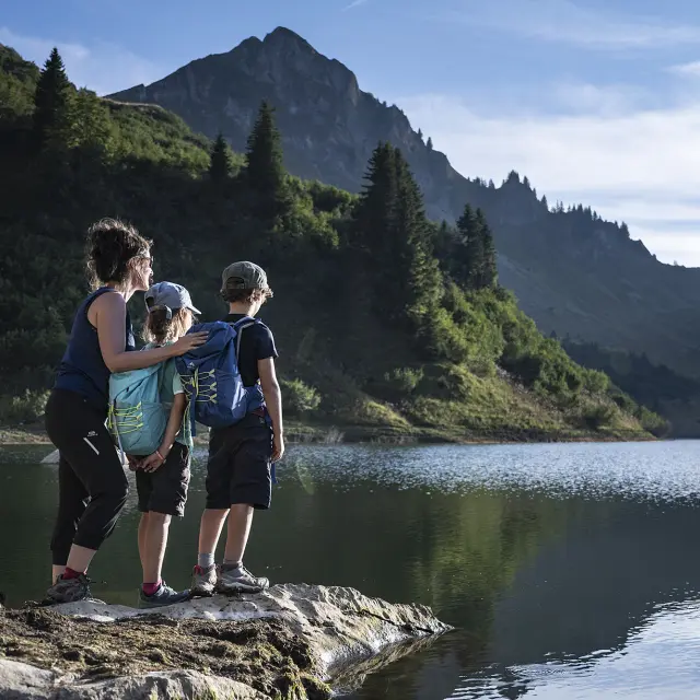
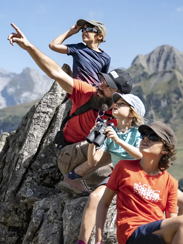
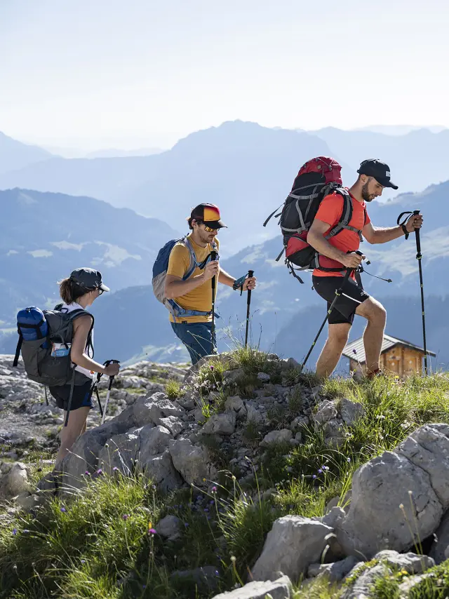
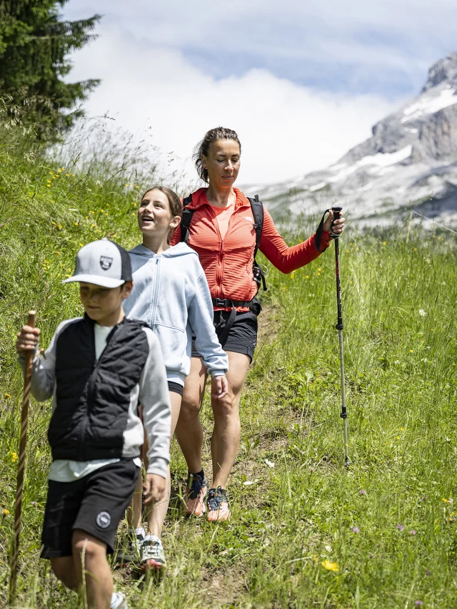
Discover hiking and walking routes for all levels in the area between Lake Annecy and the Aravis mountains.
From family-friendly routes to more challenging ones, there’s something for everyone!

©

Work Plan 1

Hiking, trail running, cycling...

The Lac Annecy Aravis Outdoor app presents all the signposted and maintained itineraries starting from the towns and villages in the area, i.e. around 150 hiking itineraries, over 15 trail itineraries, 70 mountain bike routes (cross-country, enduro, downhill), 2 bike parks, 40 cycle tourism and cyclosportifs routes, 4 Gravel routes and 15 mountain passes to climb.

The mountains are an area of pleasure to be shared and respected.

The region benefits from a precious and well-preserved natural environment, with 6 Natura 2000 sites and 2 national nature reserves. It includes part of the Parc Naturel Régional du Massif des Bauges, a UNESCO World Geopark.

Recommendations are given for each type of activity , to encourage shared use that respects the environment between different activities (sporting, pastoral, forestry).

Specific information is provided on the state of opening of trails, hunting zones, the location of herds and guard dogs and biodiversity.

This tool was developed as part of a joint initiative by Greater Annecy, the Communauté de Communes des Vallées de Thônes and the Communauté de Communes des Sources du lac d’Annecy.

To discover Interactive map of the region's routes to prepare yourself properly!