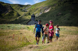
Hiking : La Tournette 2351M
Contact
62 place de l'église
Le Grand-Bornand Village
74450
Le Grand-Bornand
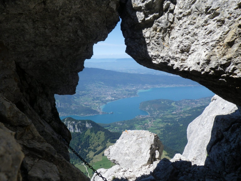
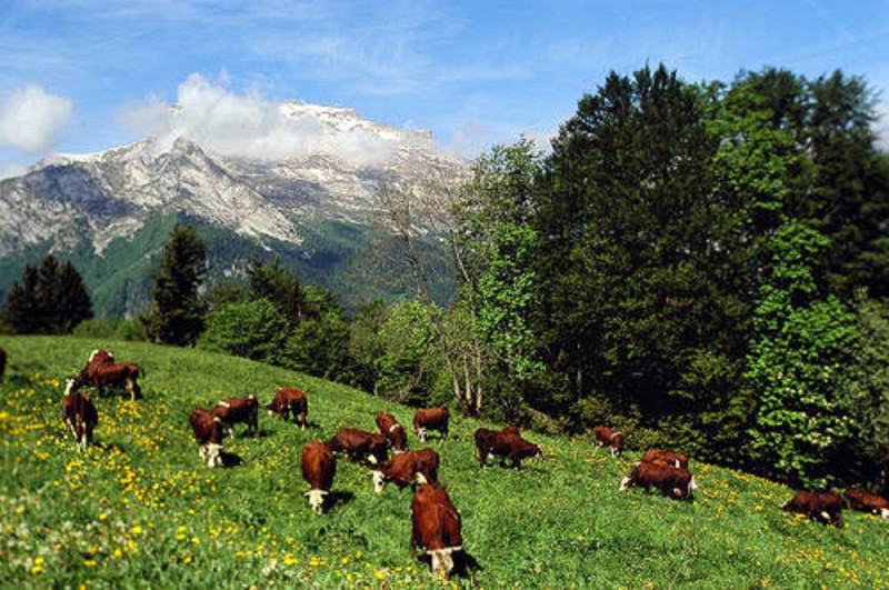
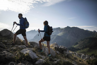
Hike to La Tournette, the emblematic summit of the area, with a 360° view of Lake Annecy, the Aravis mountains and the Mont Blanc. Dominant mineral atmosphere.
Departure from Les Clefs. 1200m D+.
Possibility not to climb on the summit chair if you are afraid of heights. But we can see the lake of Annecy in spite of everything. Ibexes. Extraordinary view on the lake of Annecy.
Dominant mineral atmosphere.
The Tournette ... This desired summit ...
La Tournette culminates at 2351m and is the highest summit around Lake Annecy which lies at its feet. It is a summit famous for its 360 degree view of the inimitably blue Lake Annecy, the Aravis, the Mont-Blanc, the Savoie and much more.
It is said that the people of Annecy ski it in the morning in spring and take a dip in the lake in the afternoon...
From the Grand-Bornand or Saint Jean de Sixt, the Tournette, located in the west, is the weather indicator: When it is blocked, bad weather is not far.
Its massive shape can be recognized from afar, surmounted by an enormous square rock, nicknamed "the chair". It happens that the people fearing the emptiness stay at its foot because the ascent is done by a succession of chains, steps cut in the stones and finally an iron ladder. After the emotion, the reward will only be better to touch the wrought iron cross, black, summit.
The Tournette has 2 main normal routes, one on the West side of the lake, the other on the East side of the Thônes. They both lead to the chair. In spite of the sometimes important frequentation, the ibex are never far from the paths. Chamois are more discreet on the Bajule or Varos side, two wilder slopes. La Tournette is a massif in itself since it has 3 refuges and you can spend 2 days to go around it or to cross it.
On the Thônes side, the most logical coming from La Clusaz, Grand-Bornand, Manigod, Thônes, the figures are the following: 1200 m of ascent passing by the refuge of Rosairy. It is therefore necessary to count 4 hours of ascent including breaks and 2h30 of descent. A certain amount of training is advised and if you are not sure it is better to start with a shorter hike (Pointe de Chombaz, Lachat de Thônes...) or opt for a formula with a private guide.
Nevertheless your guide will be there to give the quiet but continuous tempo of the climb, to manage the breaks and the timing.
Good level required (1000m of positive elevation gain). MATERIAL AND EQUIPMENT :
Walking shoes with notched soles, sunglasses, cap, sun cream, backpack, warm clothes and rain jacket, water, snacks (bars, dried fruits, etc.), sticks appreciated. Picnic lunch.
Walking shoes with notched soles, sunglasses, cap, sun cream, backpack, warm clothes and rain jacket, water, snacks (bars, dried fruits, etc.), sticks appreciated. Picnic lunch.
From 28/06 to 13/09, daily between 7.30 am and 5 pm.
In summary
- Reception :
- Italian
- French
- English
- SITRA services :
- 12 yrs old min
- 6 Groups accepted
- Type of activity :
- Accompanied
Description
- Activities information :
- Duration (minutes) 480
- Levels of sporting experience :
- For experts / practiced
- Pedestrian sports :
- Hiking
- Pedestrian sports
Localisation
FICHE_INFO_SIMPLE_LIBELLE_DESTINATION
62 place de l'église
Le Grand-Bornand Village
74450
Le Grand-Bornand
GPS coordinates
Latitude : 45.942153
Longitude : 6.427716
Tarifs
Adult: 45 € (day hike)
Child (10-12 years): 30 € (day hike).
Child (10-12 years): 30 € (day hike).
- Method of payment :
- Bank/credit card
- Cheque
- Cash
- Ch
- Credit transfer
View also
Le Grand-Bornand Village
06 52 14 08 05
Website
We offer a wide range of activities: climbing, canyoning, mountaineering, via ferrata, mountain biking, hiking, backpacking, sightseeing, glacier hiking, ski touring, snowshoeing, off-piste skiing, ice climbing, white valley...
06 52 14 08 05
Easy themed walks for all: mountain animals, flora, gourmet walks, afternoon snack on the farm.

