Le col de la Colombière (Colombière pass)
Contact
Col de la Colombière
Le Grand-Bornand Chinaillon
74450
Le Grand-Bornand
Phone : +33 4 50 02 78 00
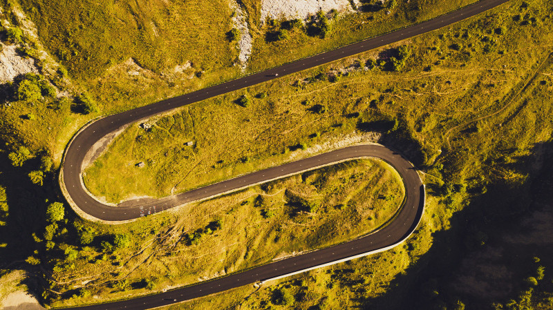
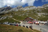
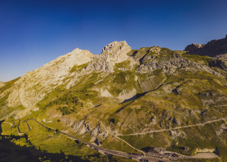
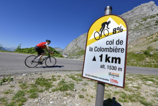
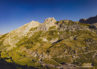
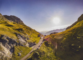
Located at 1618 m altitude, open from June to October, it connects Le Grand-Bornand in the Arve valley. Starting point for hikes, it is also a classic cycle route used many times by the Tour de France.
It is part of the Route des Grandes Alpes you must pause there for the panoramic view and maybe a glimpse of the ibex.
From 01/05 to 18/11.
Check with the Tourist Office beforehand for current access conditions.
Check with the Tourist Office beforehand for current access conditions.
Facilities and services
- SITRA services :
- Services
- Services
- Services
- Services
- Services
- Services
To note
- Additional information :
- marked footpaths
Localisation
FICHE_INFO_SIMPLE_LIBELLE_DESTINATION
Le col de la Colombière
Col de la Colombière
Le Grand-Bornand Chinaillon
74450
Le Grand-Bornand
GPS coordinates
Latitude : 45.992221
Longitude : 6.475668
In summer : pedestrian access, bicycle, vehicles
Tarifs
Free
View also
04 50 96 69 69
The north side of this famous Tour de France pass is the hardest, so you have a good excuse for taking a break to visit the Charterhouse at Le Reposoir before tackling the steepest part of the climb.
04 50 02 78 00
The Col de la Colombière has featured in the Tour de France 20 times since 1960. It’s southern side, above the resort of the Grand-Bornand, is much less formidable than the climb from Scionzier.
Gradient: 6.5%
04 50 96 69 69
A very athletic circuit that culminates with an ascent of the Col de la Colombière. Cycling the route clockwise minimises the time spent on the busy main road through the Arve Valley and allows you to climb the shady side of the Colombier.
04 50 02 78 00
The southern side of the Col de la Colombière, from the Grand-Bornand, is much less formidable than the climb from Cluses. Nevertheless, the last four kilometres above Chinaillon are very steep.
06 71 25 66 62
Saturday 07 June 2025
The 15th edition of the Trail du Gypaète will be back in Le Grand-Bornand! There's a choice of 4 routes and a great atmosphere guaranteed!

