The Aravis mountains
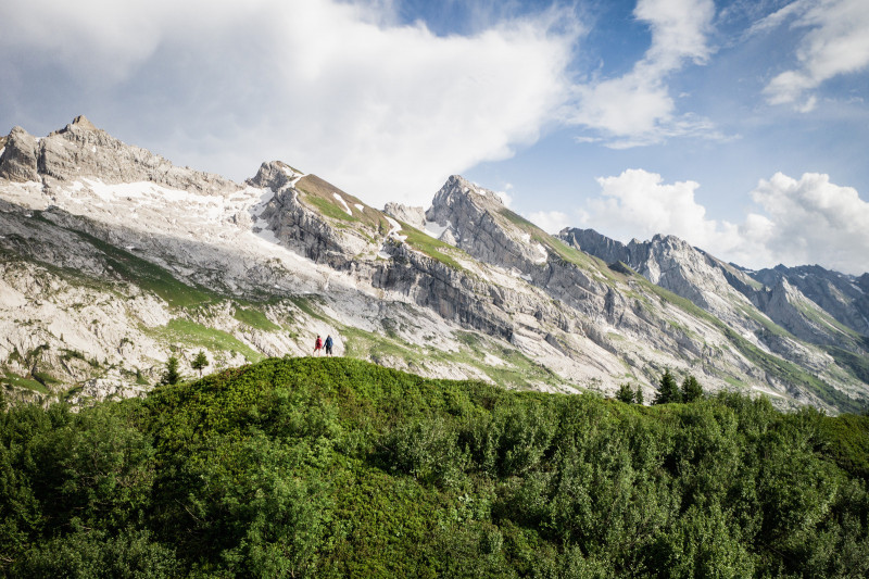
It is a amazing Alpine playground in summer and winter, between lapies and other grooves carved into the rock through erosion : trekking, walking, rock-climbing, ski touring, mountaineering, all ... close by the Village !
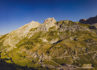
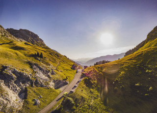
A pre alpine limestone range, facing NE-SW, which extends for about 25 km. It has a characteristic shape and is composed of a succession of parallel combes, alternating with summits such as Mont Charvet (2538 m), Mont Fleuri (2511 m), Tardevant (2501 m), Tête de Paccaly (2467 m), Roche Perfia (2499 m), Tête Pelouse (2537 m), Mont Charvin (2407 m) and the highest point, the Pointe Percée (2750 m), for the best known.
All year round, depending on snow conditions and under your own responsibility. Inquire about the conditions.
Facilities and services
- SITRA services :
- Services
- Services
- Services
- Services
- Services
- Services
To note
- Additional information :
- marked footpaths
Localisation
FICHE_INFO_SIMPLE_LIBELLE_DESTINATION
La chaîne des Aravis
74450
Le Grand-Bornand
GPS coordinates
Latitude : 45.955118
Longitude : 6.556091
In winter and snowy conditions : access only snowshoe or ski touring.
Other periods : pedestrian access.
Other periods : pedestrian access.
Tarifs
Free
View also
04 50 96 69 69
A very athletic circuit that culminates with an ascent of the Col de la Colombière. Cycling the route clockwise minimises the time spent on the busy main road through the Arve Valley and allows you to climb the shady side of the Colombier.
04 50 02 78 00
The southern side of the Col de la Colombière, from the Grand-Bornand, is much less formidable than the climb from Cluses. Nevertheless, the last four kilometres above Chinaillon are very steep.


