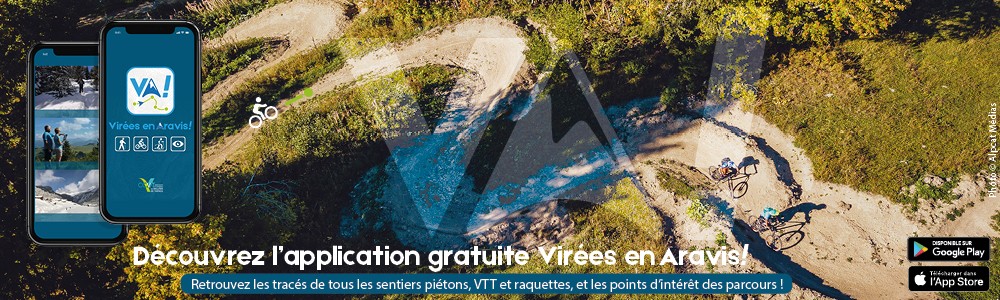
Virées en Aravis application!
Discover the hiking, mountain biking and cycling trails of the Aravis...
The app that turns your mobile into a GPS!
Developed by the Communauté de Communes des Vallées de Thônes, the new Virées en Aravis app lets you use your mobile phone as a GPS. You can choose a route and download it according to your criteria (level of difficulty, theme, etc.), so there's no need for an Internet connection to enjoy your hike once you've downloaded all the information onto your mobile. The app also includes information updates from mountain professionals, signposting and other points of interest with interactive and audio content, and the option of sharing via social networks. So you can enjoy the scenery while discovering the heritage, fauna, flora and even the local produce on your walk.
Bonus: a one-touch button for calling the emergency services in case of need, with geo-positioning and GPS coordinates displayed to make it easier for them to arrive.
Bonus: a one-touch button for calling the emergency services in case of need, with geo-positioning and GPS coordinates displayed to make it easier for them to arrive.