Cycling itinerary: Aravis / Arly crossing
Contact
74000
Annecy
Also called the "Prince of Wales" in honour of one of the most prestigious visitors to have cycled the route. The view of Mont-Blanc from the Col des Aravis is not to be missed.
Departure point / TER: Annecy
Length: 108 km
Difficulty: black
Total ascent: 1300 m
Direction: clockwise
Landmarks and connections: Thônes (separation from Tour des Glières no. 45); La Clusaz (separation from Circuit de la Croix-Fry no. 46); Ugine (junction with voie verte)
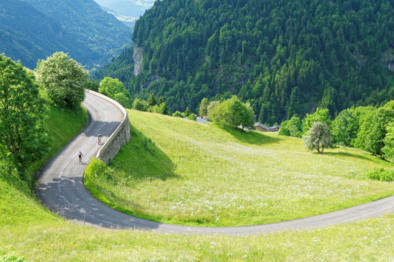
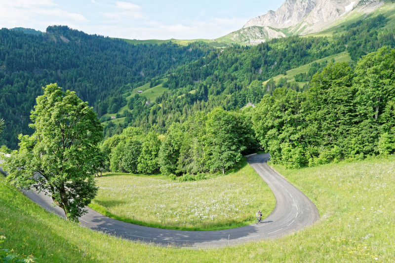
The first third of this long loop is shared with Tour de la Tournette n°3 and Tour des Glières n°45. The climb up to the Aravis Pass from St-Jean-de-Sixt is not particularly challenging. Its gradients are always below 7%, except for a very short section at 8.5%. On the other hand, the final part of the climb is very beautiful, amidst vast green alpine meadows and at the foot of high cliffs. But before you start, take a detour to the pretty center of La Clusaz, dominated by one of the most beautiful bulbous bell towers in the Alps.
You won't be tempted to linger at the top of the Col des Aravis (1498 m), which is often crowded with a multitude of stalls. But don't miss the view of Mont Blanc before you cross into Savoie!
After the spectacular plunge through the twists and turns of La Giettaz, you'll reach the Val d'Arly national road. It's best to get away from it as soon as possible. That's why you'll leave it at the Flon bridge and take the balcony road to Héry-sur-Ugine, which is much quieter (except when the main road is closed, which is quite often). From Ugine, don't miss the new 37-km greenway, which continues all the way to Annecy.
From 15/04 to 31/10.
Description
- SITRA services :
- Route Aller / Itinerance
- 1300 Route
- 110 Distance (km)
- Levels of sporting experience :
- Level black - very hard
Localisation
FICHE_INFO_SIMPLE_LIBELLE_DESTINATION
74000
Annecy
GPS coordinates
Latitude : 45.902418
Longitude : 6.12992
Car Park: Préfecture
Tarifs
Free access.
View also
04 50 45 00 33
You can do it! The signposted direction was chosen to make the only climb on the circuit as easy as possible and to allow you to stay close to the lake, especially for the section after Talloires.
04 50 45 00 33
One of the area's great classics, with a beautiful descent between Serraval and St-Ferréol, and an easy return leg along the Annecy Cycleway.
04 50 45 00 33
If you hate steep climbs, this is not the ride for you. Great view overlooking the lake.
04 50 45 00 33
An easy tour to see the hidden-side of this little mountain from Annecy.

