Cycling looping: Belvédère de la Forclaz
Contact
74000
Annecy
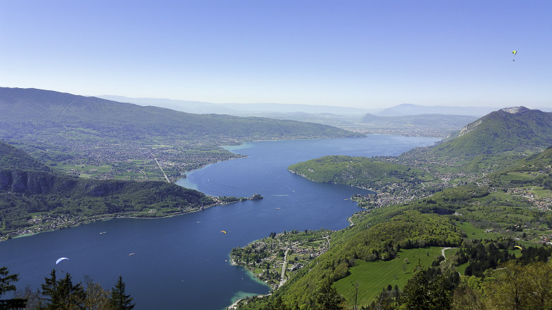
If you hate steep climbs, this is not the ride for you. Great view overlooking the lake.
Direction of travel: clockwise.
Landmarks and connections: Talloires (junction with Tour du lac d'Annecy no. 1); hamlet of Vesonne (junction with the "Promenade cyclable" greenway).
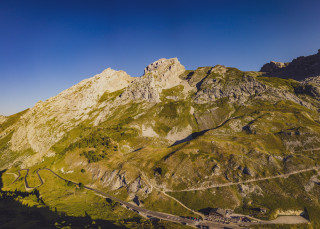
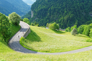
Description:Ten years ago, Eddy Merckx came to Annecy to visit his friends from the Cent Cols club. They took him up the Col de la Forclaz... which Eddy Merckx found hard! A little pass not to be underestimated! It was here that Laurent Jalabert took the lead in 1997, but in the opposite direction, in a desperate last-ditch effort, and Richard Virenque in order to consolidate his last polka-dot jersey. Set off as if you were doing Tour du Lac n°1. The road to the pass, RD42, starts after Menthon-St-Bernard, at the top of the Côte d'Echarvines. The gradient gradually rises to over 10% in several places, reaching 12.6% on the penultimate kilometer! After such an effort, take the time to watch the many paragliders taking off and twirling around. At the end of the descent through Montmin, you'll reach the village of Vesonne. Cross the main road and take the "voie verte" back to Annecy.
From 15/04 to 31/10.
Description
- SITRA services :
- Route BOUCLE
- Route
- 700 Route
- 50 Distance (km)
- Levels of sporting experience :
- Level black - very hard
Localisation
FICHE_INFO_SIMPLE_LIBELLE_DESTINATION
74000
Annecy
GPS coordinates
Latitude : 45.902418
Longitude : 6.12992
Car Park: Préfecture
Tarifs
Free access.
View also
04 50 45 00 33
You can do it! The signposted direction was chosen to make the only climb on the circuit as easy as possible and to allow you to stay close to the lake, especially for the section after Talloires.
04 50 45 00 33
One of the area's great classics, with a beautiful descent between Serraval and St-Ferréol, and an easy return leg along the Annecy Cycleway.
04 50 45 00 33
An easy tour to see the hidden-side of this little mountain from Annecy.
04 50 45 00 33
Very close to Annecy, it start as for the Tour of the Montagne d'Age. During the descent, the views over the city, the lake and ranges are epic.
04 50 45 00 33
Start by following the Pont de la Caille Circuit, and then continue through Cruseilles.
04 50 96 69 69
A very athletic circuit that culminates with an ascent of the Col de la Colombière. Cycling the route clockwise minimises the time spent on the busy main road through the Arve Valley and allows you to climb the shady side of the Colombier.
04 50 45 00 33
Quieter than the Aravis, with a superb, sinuous descent.
04 50 45 00 33
Also called the "Prince of Wales" in honour of one of the most prestigious visitors to have cycled the route. The view of Mont-Blanc from the Col des Aravis is not to be missed.
04 50 45 00 33
From the Col de Tamié, it is only a short detour to the Abbey, where you can try the monks' famous cheese.

