Cycling loop: Croix-Fry circuit
Contact
74000
Annecy
Quieter than the Aravis, with a superb, sinuous descent.
Direction of travel: clockwise.
Landmarks and connections : Annecy-le-Vieux; Alex (separation with Tour du mont Veyrier n°2); Thônes (separation with Tour de la Tournette n°3); St-Jean-de-Sixt (separation with Tour du Bargy n°44 and Tour des Glières n°45); La Clusaz (separation with Traversée Aravis / Arly n°47)
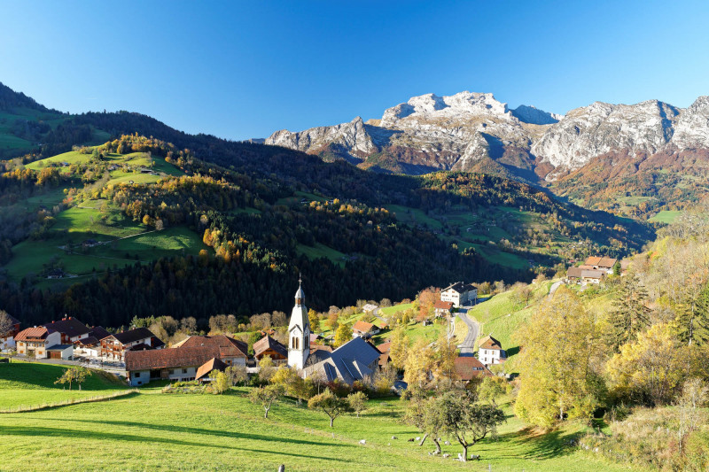
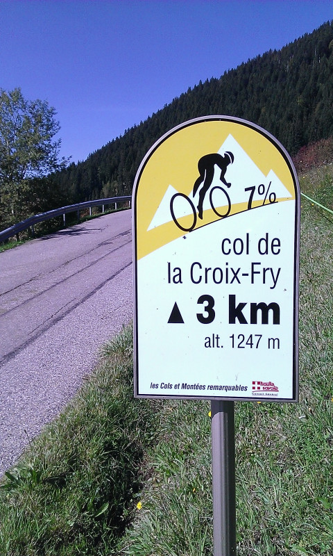
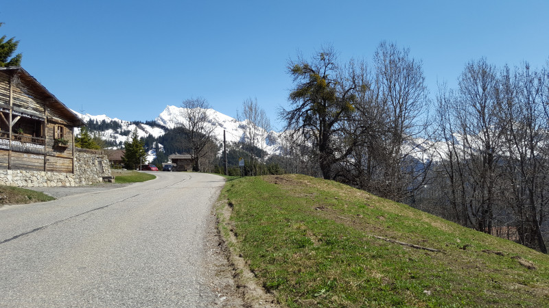
Description:Did you like the Tour de la Tournette? Then you'll love the Circuit de la Croix-Fry! In fact, to the charms of the first (with a not-to-be-missed break in the heart of Thônes) are added the passage through La Clusaz (second obligatory break!) with its majestic panoramic view of the Aravis range, and then the beautiful south-westerly descent of the Col de la Croix-Fry. If you'd like a more athletic version of this tour, you can simply reverse the ascent to the pass from Thônes, taking it in an anti-clockwise direction, when things get more serious: 850 m of ascent over 13 km, including 7 km above 7%, with 1 km at 9.2%. Laurent Jalabert and Lance Armstrong came out on top here in 97 and 2004 respectively. Best done in the morning, before the sun goes down!
From 15/03 to 30/10.
Description
- SITRA services :
- Route BOUCLE
- 1270 Route
- 93 Distance (km)
- Levels of sporting experience :
- Level black - very hard
Localisation
FICHE_INFO_SIMPLE_LIBELLE_DESTINATION
74000
Annecy
GPS coordinates
Latitude : 45.902418
Longitude : 6.12992
Car Park: Préfecture
Tarifs
Free access.
View also
04 50 45 00 33
One of the area's great classics, with a beautiful descent between Serraval and St-Ferréol, and an easy return leg along the Annecy Cycleway.
04 50 45 00 33
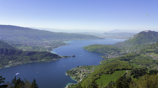
If you hate steep climbs, this is not the ride for you. Great view overlooking the lake.
04 50 45 00 33
An easy tour to see the hidden-side of this little mountain from Annecy.

