Cycling loop: Tour du Bargy


Contact
74300
Cluses
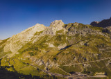
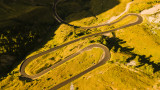
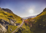
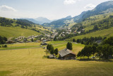
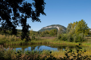
A very athletic circuit that culminates with an ascent of the Col de la Colombière. Cycling the route clockwise minimises the time spent on the busy main road through the Arve Valley and allows you to climb the shady side of the Colombier.
What is more, the descent to Le Grand-Bornand is simply sumptuous.
From 01/06 to 31/10.
Description
- SITRA services :
- Route BOUCLE
- 1160 Route
- 70 Distance (km)
- Levels of sporting experience :
- Level black - very hard
Localisation
FICHE_INFO_SIMPLE_LIBELLE_DESTINATION
74300
Cluses
GPS coordinates
Latitude : 46.056883
Longitude : 6.580558
Tourist Office
Tarifs
Free access.
View also
04 50 02 78 00
Website
Highest point of the winter ski area over 2000 m altitude, it's also a well-known take-off point for paragliders.
04 50 02 78 00
Website
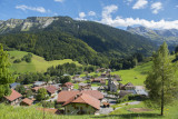
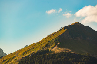
Located at 1618 m altitude, open from June to October, it connects Le Grand-Bornand in the Arve valley. Starting point for hikes, it is also a classic cycle route used many times by the Tour de France.
04 50 02 78 00
Website
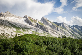
It is a amazing Alpine playground in summer and winter, between lapies and other grooves carved into the rock through erosion : trekking, walking, rock-climbing, ski touring, mountaineering, all ... close by the Village !
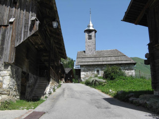
Founded in 1677, the chapel is nestled in the heart of the old village of Le Chinaillon. Despite major renovation work to the building in 1977, it has retained its traditional appearance.
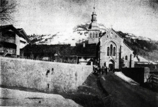
After 60 years of building work, undertaken and financed by the local community,it was consecrated in 1877. Built in the neo-gothic style of the XIX century, the architecture is typical of the golden age of the Catholic church.

04 50 45 00 33
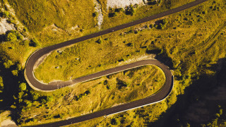
You can do it! The signposted direction was chosen to make the only climb on the circuit as easy as possible and to allow you to stay close to the lake, especially for the section after Talloires.
04 50 45 00 33
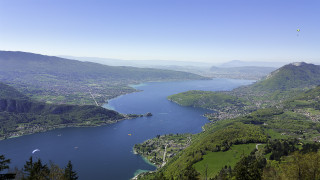
One of the area's great classics, with a beautiful descent between Serraval and St-Ferréol, and an easy return leg along the Annecy Cycleway.
04 50 45 00 33
If you hate steep climbs, this is not the ride for you. Great view overlooking the lake.
04 50 45 00 33
An easy tour to see the hidden-side of this little mountain from Annecy.